What is recorded here
Aerial photograph (GB90.CO.13) shows a trackway (L c. 100m) defined by two fosses running roughly NNW-SSE c. 100m SW of a ringfort (KK013-005----). There are also a number of ring-ditches (KK013-050001- to KK013-150006-) immediately to the S.
Compiled by: Dr. Gillian Barrett for the Archaeological Survey of Ireland
Date of upload: 23 May 2012
The monument record does not grant public access. Check the route and ask the landowner before entering private land.
- What survives
- Recorded monument
Places near here
 Enclosure in Clomantagh LowerEnclosure · 129 yd
 TobermurryHoly well · 390 yd
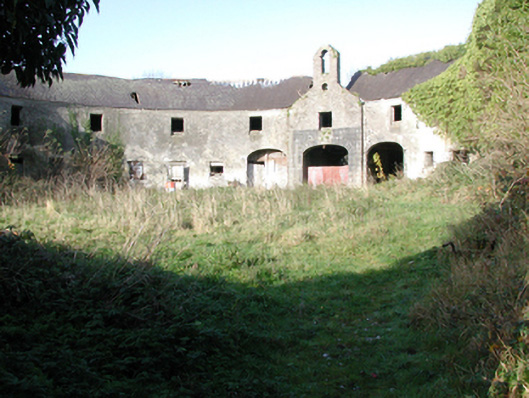 outbuildingoutbuilding · 428 yd
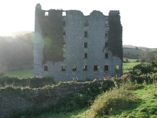 Clomantagh Millsmill (water) · 492 yd
 CastleCastle, tower house · 685 yd
 Tubbrid Castle (in ruins)Castle, tower house · 1420 yd
 Clomantagh HillMountain / peak · 1.7 mi
 Kildrinagh WoodForest · 2.2 mi
 John HelyMemorial · 3.6 mi
 DelaneyMemorial · 3.7 mi
 Street fieldArchaeological place · 4.7 mi
 Anker's IslandIsland · 7.9 mi