What is recorded here
A linear earthwork is visible in Castleruby on aerial photographs (ACP: V206/8) running parallel with the stone wall and townland boundary with Tonroe. Situated on the crest of an E-W ridge, extending W from the ceremonial enclosure (RO027-022---). No feature is visible at ground level in pasture but the cropmark of two ditch-features placed c. 10m apart can be seen running ESE from the enclosure (total L c. 500m) on OSI images c. 2010.
Compiled by: Michael Moore
Date of revised upload: 24 July 2015
The monument record does not grant public access. Check the route and ask the landowner before entering private land.
- What survives
- Recorded monument
Places near here
 CastlerubyCastle, unclassified · 464 yd
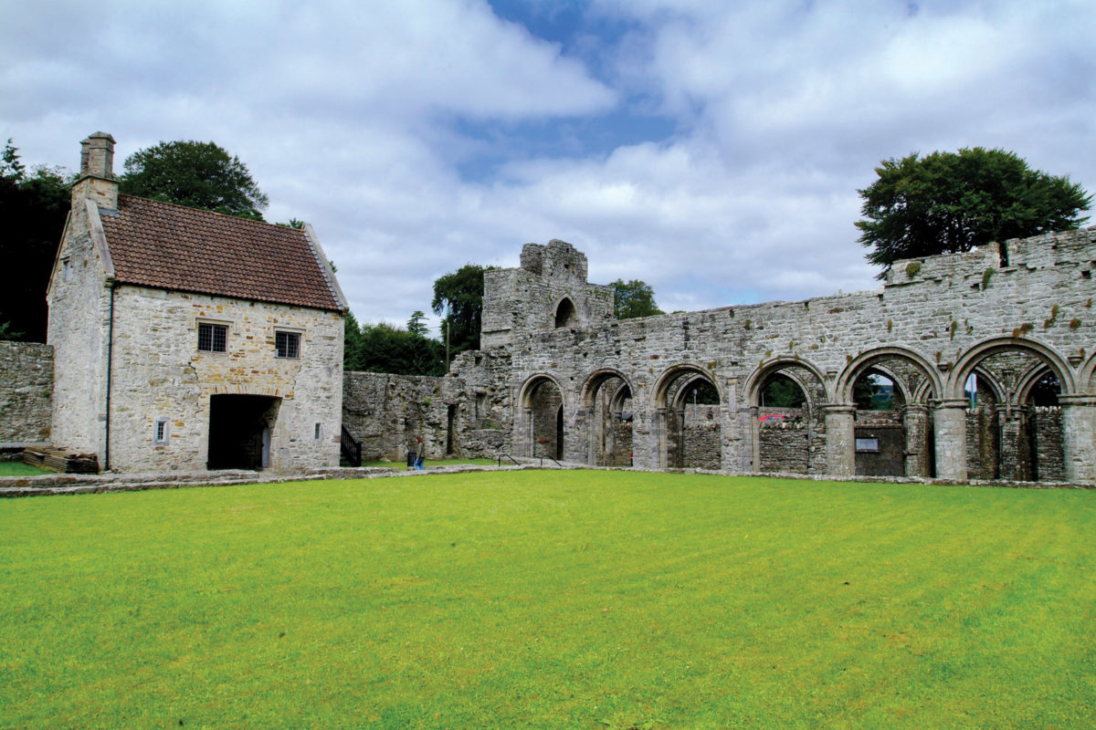 Enclosure in CastlerubyEnclosure · 593 yd
 Man-made underground passage in Carrowkeel (castlereagh By., Castleplunket EdMan-made underground passage · 1202 yd
 R. C. ChapelChurch · 1.2 mi
 MonasteryReligious house, Franciscan Third Order Regular · 1.3 mi
 European ashEuropean ash · 1.8 mi
 ToberagullaSpring · 1.8 mi
 Cruachan Aí Heritage CentreMuseum · 2.8 mi
 GortnacushlaunCastle, unclassified · 4.8 mi
 War of Independence Commemorative Military MemorialMemorial · 6.0 mi
 Workhouse MemorialMemorial · 6.5 mi
 HawthornHawthorn · 7.1 mi