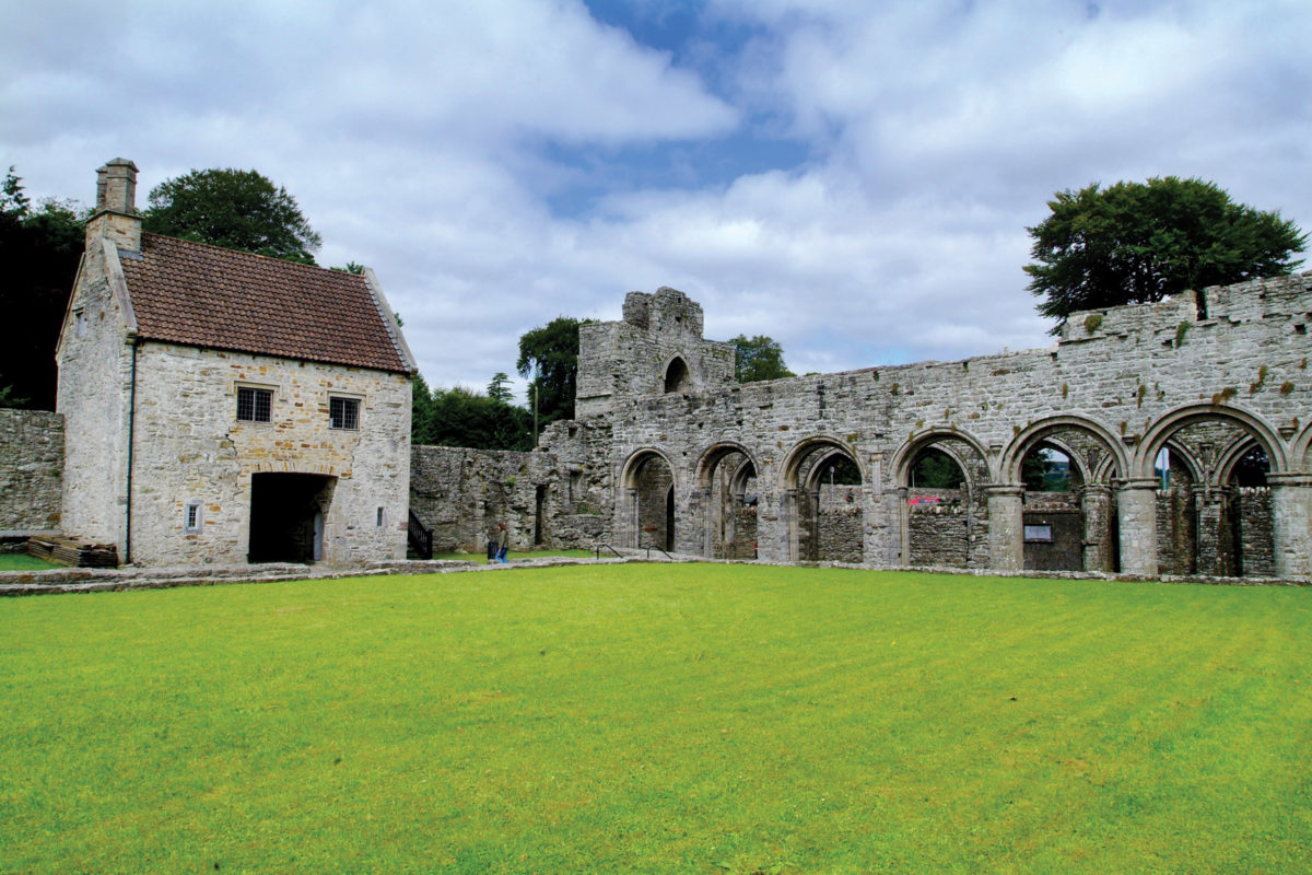
What is recorded here
On a gentle S-facing slope. What looks like an earthwork enclosure (diam. c. 70m) is visible on aerial photographs (GSIAP: M, 82-3), although it may represent a number of small fields. The area is now reclaimed and no feature is visible.
Compiled by: Michael Moore
Date of upload: 24 August 2010
The monument record does not grant public access. Check the route and ask the landowner before entering private land.
- What survives
- Recorded monument
Places near here
 CastlerubyCastle, unclassified · 548 yd
 Man-made underground passage in Carrowkeel (castlereagh By., Castleplunket EdMan-made underground passage · 842 yd
 R. C. ChapelChurch · 1667 yd
 ToberelvaHoly well · 1670 yd
 CastleHouse, 17th century · 1.2 mi
 European ashEuropean ash · 2.1 mi
 ToberagullaSpring · 2.1 mi
 Cruachan Aí Heritage CentreMuseum · 3.0 mi
 GortnacushlaunCastle, unclassified · 4.9 mi
 War of Independence Commemorative Military MemorialMemorial · 6.4 mi
 HawthornHawthorn · 6.9 mi
 Site of Killomaine Grave YardArchaeological place · 9.5 mi
Other information
Photo: Credit not shown in the picture search · Rights wording not checked; contact us if this picture should be removed