What is recorded here
Barrington (1999, 288) describes, 'an old road system going down to, and under' the cashel (KE106-063001-). This is probably part of what is now known as the 'Kerry Way'. The construction date of this road has not been established.
Compiled by: Elizabeth Byrne, Ursula Egan and Sheila Ronan, Archaeological Survey Unit, University College, Cork.
Date of upload: 30 May 2011
The monument record does not grant public access. Check the route and ask the landowner before entering private land.
- What survives
- Recorded monument
Places near here
 CaherdanielFairy fort / stone ringfort · 35 yd
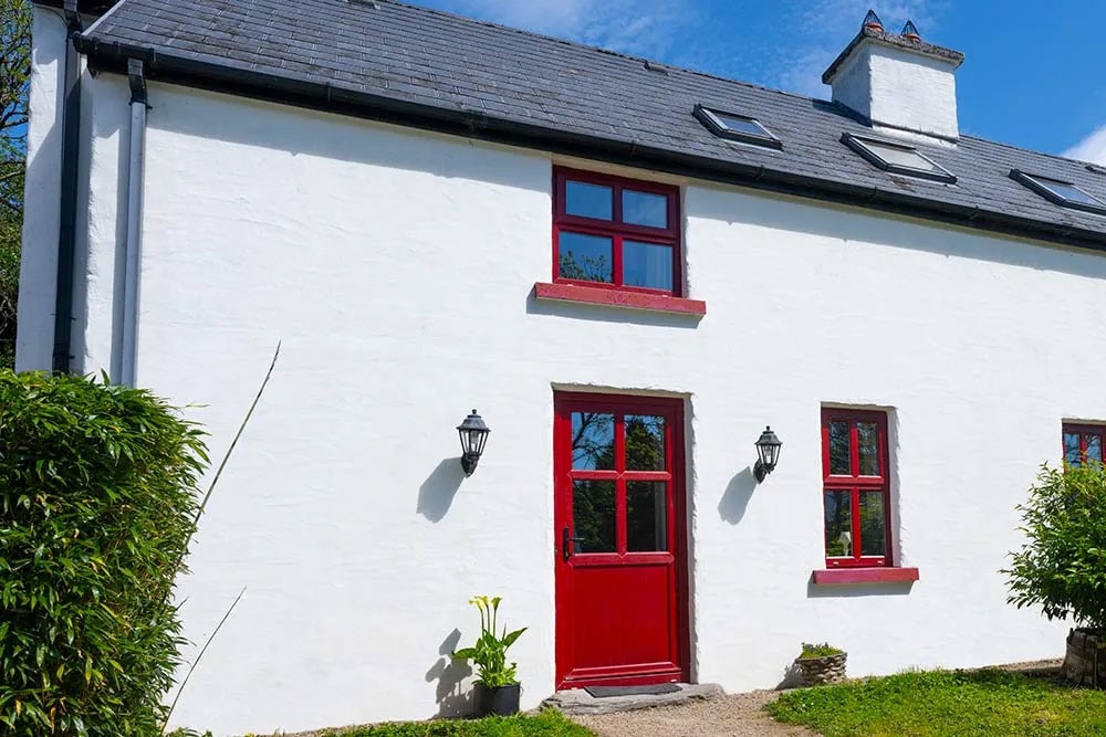 Enclosure in Doire Fhionáin BeagEnclosure · 241 yd
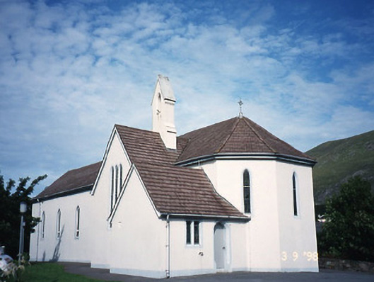 Saint Crohan's Catholic Churchchurch/chapel · 791 yd
 Ogham StoneVisitor information · 1097 yd
 Derrynane House / Teach Dhoire FhionáinHeritage attraction · 1746 yd
 Teach Dhoire Fhíonáin [Derrynane House]country house · 1747 yd
 Páirc Náisiúnta Stairiúil Dhoire Fhíonáin / Derrynane National Historic ParkNature reserve · 1.1 mi
 Cahernageeha MountainMountain / peak · 1.1 mi
 Trá An Ráth / Rath BeachBeach / strand · 1.1 mi
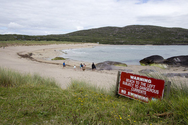 Derrynane Beach / Trá Doire FhíonáinBeach / strand · 1.2 mi
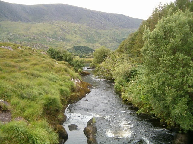 Eagle HillMountain / peak · 1.3 mi
 Lamb's IslandIslet · 1.8 mi