What is recorded here
According to Carrigan (1905, vol. 2, 261), the old road connecting the churches and castles of Killashoolan [KK009-055001- and KK009-056001-] and Ballylarkin [KK013-018001- and KK013-017001-] may still, in part, be traced. It crossed from Killashoolan by Kilrush castle [KK013-012----]; thence over the Nuenna, by a bridge now almost entirely destroyed; thence by the "monument bush," in a field in Ballylarkin, called the "Thur-duv;" and, thence, to Ballylarkin castle and church'. Slight traces of a roadway (L c. 260m) consisting of a level area (Wth 15m) with a low earthen bank on either side are visible 30m N of a ringfort (KK013-016----) running NW-SE before kinking northward towards Nuenna river.
Compiled by: Jean Farrelly
Date of upload: 24 July 2019
The monument record does not grant public access. Check the route and ask the landowner before entering private land.
- What survives
- Recorded monument
Places near here
 CastleCastle, motte · 160 yd
 IndicatedBawn · 248 yd
 Abbey in ruinsChurch · 294 yd
 Site of English's houseArchaeological place · 459 yd
 Enclosure in Ballylarkin LowerEnclosure · 584 yd
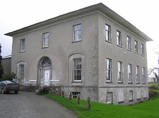 Kilrush Housecountry house · 974 yd
 The CopseWood · 1056 yd
 The PondsForest · 1270 yd
 Freshford LoopWalking route · 1628 yd
 Emma Jane Browne-ClaytonMemorial · 1.4 mi
 Clomantagh HillMountain / peak · 3.4 mi
 DelaneyMemorial · 5.5 mi