What is recorded here
A post-medieval roadway excavated in 1998 (Licence no. 98E0517) in advance of land sale for development. An embanked linear ditch (L over 170m), oriented NW-SE, cut into natural with one bank to the W (Wth 4m; H 0.6m). The E side was scarped (Wth 3m; H 0.45m). (Stevens 1998; 2000, 7)
Compiled by: Mary Tunney
Date of upload: 25 July 2016
The monument record does not grant public access. Check the route and ask the landowner before entering private land.
- What survives
- Recorded monument
Places near here
 Enclosure in Ballycasey MoreEnclosure · 12 yd
 Hachured (1951-52)Enclosure · 279 yd
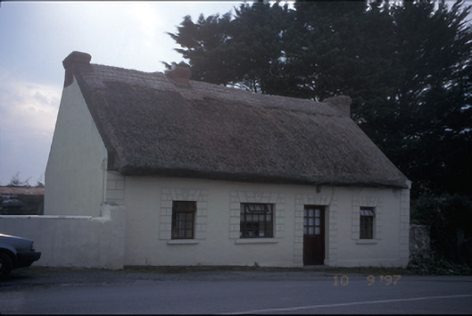 Tigínhouse · 694 yd
 Atlantic Air VentureMuseum · 1169 yd
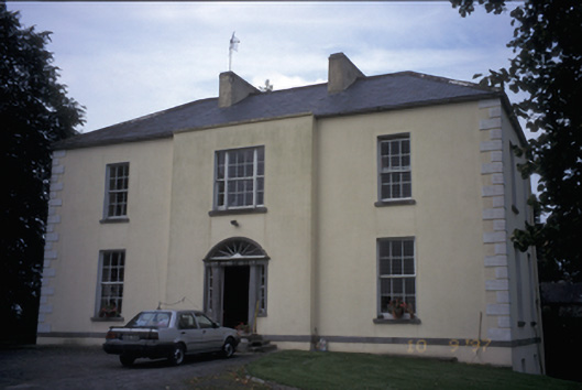 Ballycunneen Househouse · 1178 yd
 Smithstown/Ballynagowan Castle (in Ruins)Castle, tower house · 1297 yd
 CastleCastle, motte and bailey · 1744 yd
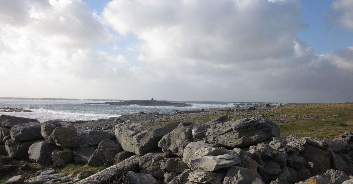 Illauninanagh PointHeadland · 1.5 mi
 Drummin PointHeadland · 1.6 mi
 Pan Am Flight 1-10aviation accident · 1.8 mi
 Sweet ChestnutSweet Chestnut · 2.0 mi
 Bunratty Castlehouse · 2.2 mi