What is recorded here
Located on a fairly level landscape at the N foothills of Slieve na Calliagh ridge. Aerial photographs from 1991 (GB91.DD33; GB91DE05) shows a sunken feature (L c. 150m NE-SW) that might have an earthen bank on either side extending NE-SW. From its S end it enters a confused area with elements of the field system (ME009-108---) and relict furrows, but the N end of the possible cursus (ME009-087----) is c. 100m S from it.
Compiled by: Michael Moore
Date of upload: 2 November 2018
The monument record does not grant public access. Check the route and ask the landowner before entering private land.
- What survives
- Recorded monument
Places near here
 Enclosure in BallinvallyEnclosure · 466 yd
 Enclosure in Ballinvally,drumsawry OR SummerbankEnclosure · 568 yd
 indicatedChurch · 1138 yd
 CastleCastle, unclassified · 1140 yd
 Loughcrew Megalithic TombsHeritage attraction · 1513 yd
 Slieve Na CalliaghMountain / peak · 1608 yd
 LoughcrewMegalithic tomb cemetery · 1756 yd
 Carnbane WestMountain / peak · 1.0 mi
 C11Named rock · 1.0 mi
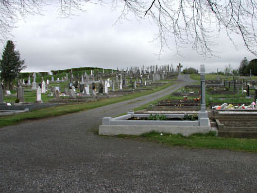 graveyard/cemeterygraveyard/cemetery · 1.5 mi
 Oliver Plunkett memorialMemorial · 1.5 mi
 Drumlerry WetlandForest · 1.5 mi