What is recorded here
Located in a low-lying position adjacent to the River Dolla. Not marked on the 1st or 2nd ed. OS 6-inch maps but noted on an aerial photograph GSIAP, R 117/8. It runs N-S through a deserted settlement (TN027-163001)) and continues beyond it, extending N parallel to the River Dolla before turning E-W at the fording point of the river. It is possible that the present E-W roadway is partially built on this earlier trackway.
The above description is derived from 'The Archaeological Inventory of County Tipperary. Vol. 1 - North Tipperary' compiled by Jean Farrelly and Caimin O'Brien (Dublin: Stationery Office, 2002). In certain instances the entries have been revised and updated in the light of recent research.
Date of upload/revision: 22 September 2008
The monument record does not grant public access. Check the route and ask the landowner before entering private land.
- What survives
- Recorded monument
Places near here
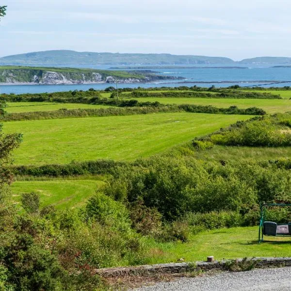 ToberanureHoly well · 757 yd
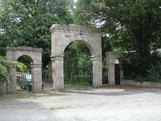 Kilboy Housedemesne walls/gates/railings · 1007 yd
 CrossCross, High cross · 1191 yd
 Dolla Garda Síochána Stationgarda station/constabulary barracks · 1.1 mi
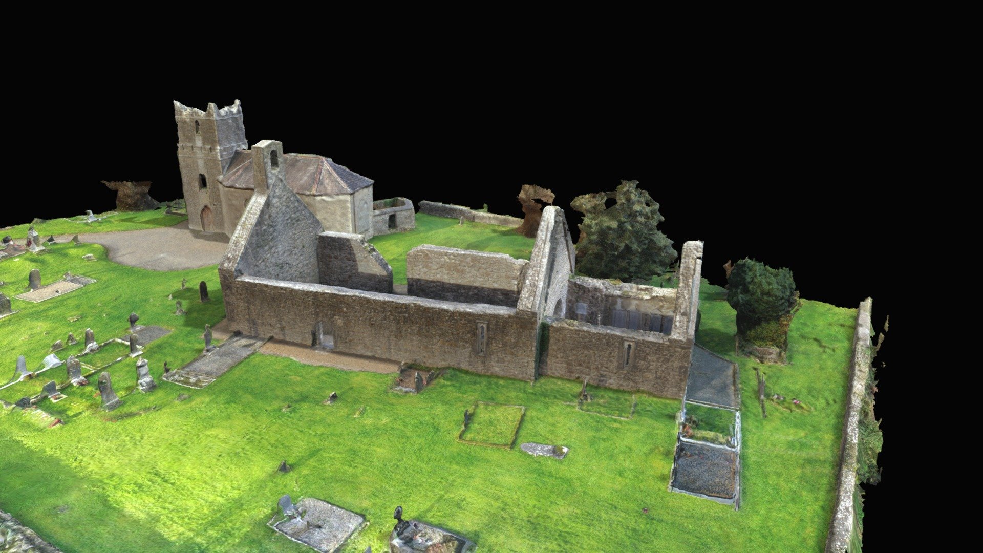 CastleCastle, Anglo-Norman masonry castle · 1.2 mi
 Monaquill Ho.Castle, unclassified · 1.6 mi
 Sweet ChestnutSweet Chestnut · 1.7 mi
 Gibbet HillMountain / peak · 1.8 mi
 Our Lady Assumed into HeavenMemorial · 2.6 mi
 The MinerMemorial · 2.6 mi
 Silvermines ViewpointViewpoint · 2.8 mi
 Ballincurra HillMountain / peak · 3.6 mi