
What is recorded here
The site (L 52.58m; Wth 2.36m; D 0.045m) is orientated NW-SE and composed of very irregularly laid rounded flagstones set in a bed of sand, clay marl and dried peat. The flags (diam. 0.09-0.27m) are widely spaced with a very uneven surface. The sand, clay and marl bed is 0.42m in depth at its centre and decreases to 0.1m at its edges. There are a greater number of flagstones at the centre of the site with more clay at the E end. Some of the marl appears to be burnt. Roots have penetrated the structure and some of these also appear burnt. The site is set in poorly humified Sphagnum peat rich in Phragmites.
Compiled by: Irish Archaeological Wetland Unit (University College Dublin).
Date of upload: 23 May 2011
The monument record does not grant public access. Check the route and ask the landowner before entering private land.
- What survives
- Recorded monument
Places near here
 StructureStructure, peatland · 502 yd
 PlatformPlatform, peatland · 994 yd
 Lemanaghan CastleCastle, tower house · 1396 yd
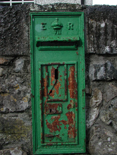 post boxpost box · 1426 yd
 St. Managhans ChurchChurch · 1467 yd
 European ashEuropean ash · 1483 yd
 Castle ArmstrongHouse, fortified house · 1.1 mi
 Cocta HillMountain / peak · 2.9 mi
 Inchaloon IslandIslet · 3.3 mi
 Saint Reaghan's WellSpring · 3.8 mi
 Ballylin Bog BoardwalkHeritage attraction · 4.2 mi
 Endrim HillMountain / peak · 4.6 mi
Other information
Photo: Credit not shown in the picture search · Rights wording not checked; contact us if this picture should be removed