What is recorded here
On the E edge of a large expanse of bog, and apparently giving access to/from Lullymore 'island', an area of high ground c. 1300m to the N. The monument was investigated by Rynne (1964-5, 35-7) on behalf of the NMI, who examined its S end where it ran parallel with and close to a modern tarred road. Rynne found a wide roadway (Wth 4.5m) constructed of marl and gravel at a depth of 0.55m below the surface of the bog, with a depth of peat of at least 1.85m below the roadway. Its course was marked by a line of coarse grass growing on the surface of the bog and could be traced for c. 300m. A second, similar roadway (KD012-004001-), lead N from Lullymore 'island', and two other toghers (KD012-002001- and 012-003001-) are known from the vicinity, to the N.
Compiled by: Gearóid Conroy
Date of upload: 10 June 2011
The monument record does not grant public access. Check the route and ask the landowner before entering private land.
- What survives
- Recorded monument
Places near here
 Lullymore Heritage ParkHeritage attraction · 1384 yd
 The Fairy BowerHeritage attraction · 1479 yd
 IndicatedEnclosure · 1506 yd
 Foran's WoodForest · 1537 yd
 Cross in Lullymore EastCross · 1575 yd
 Church in Lullymore EastChurch · 1617 yd
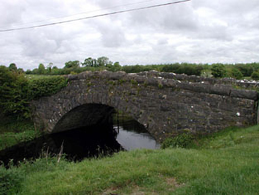 Agar Bridgebridge · 1.5 mi
 Killina BogWood · 1.9 mi
 Bawn in Grangeclare WestBawn · 3.5 mi
 Bithia Mary CrokerMemorial · 3.7 mi
 Site of CastleCastle, tower house · 3.9 mi
 Grand Canal WayVisitor information · 5.1 mi