What is recorded here
In bogland on NE shore of Loch Buaile. It consists of a bed of flat granite stones (Wth 1-1.5m, H 1m) traceable intermittently for c. 70m from the lake shore, curving towards NE. A lake dwelling (GA063-009----) lies c. 180m to SW. (Robinson 1985, 21)
The above description is derived from the published 'Archaeological Inventory of County Galway Vol. I - West Galway'. Compiled by Paul Gosling (Dublin: Stationery Office, 1993).
Date of upload: 05 August 2010
A prehistoric trackway, likely Bronze Age in date, constructed of flat granite stones. Its significance lies in its function as a raised pathway across peatland, potentially linking settlements or facilitating movement around a lake.
The monument record does not grant public access. Check the route and ask the landowner before entering private land.
- What survives
- Recorded monument
Places near here
 L.K.Kiln, lime · 498 yd
 Cnoc GlinsceMountain / peak · 1092 yd
 Knockboy ForestryForest · 1279 yd
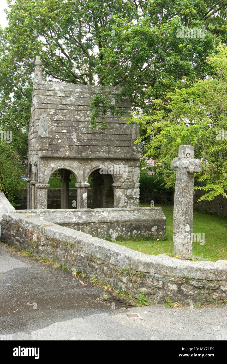 Holy well in GlinsceHoly well · 1588 yd
 Tobberskeensagh Holy WellHoly well · 1.3 mi
 Trá MhaíroisBeach / strand · 1.7 mi
 R.C. ChapelChapel · 1.8 mi
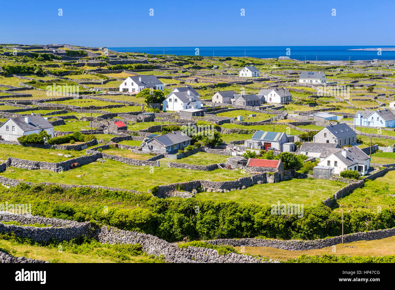 Inis BigirIslet · 1.9 mi
 FraochoileánIslet · 2.4 mi
 Ard Castle (in ruins)Castle, tower house · 2.6 mi
 Ceann MhásaHeadland · 3.0 mi
 Rosie McGurranGallery · 4.3 mi