What is recorded here
The site (L 1.37m min.; Wth 0.52m; D 0.06m min.) consists of six closely laid roundwoods (diam. 0.06-0.1m). All the elements are orientated E-W but the overall site orientation is unclear. The wood is in poor condition due to machine damage. Three metal-cut toolmarks are present. One piece has been identified as alder. It lies in moderately humified Sphagnum peat with ericaceous remains and pockets of Eriophorum. Radiocarbon dated to 1390-1046 cal. BC (UCD0208). SMR WM034-015---- lies 1.8m to the NE.
Compiled by: Caimin O'Brien
Date of upload: 26 July 2013
The monument record does not grant public access. Check the route and ask the landowner before entering private land.
- What survives
- Recorded monument
Places near here
 Fairy fort / ringfort in Pass OF KilbrideFairy fort / ringfort · 888 yd
 Moat of PassCastle, motte · 1693 yd
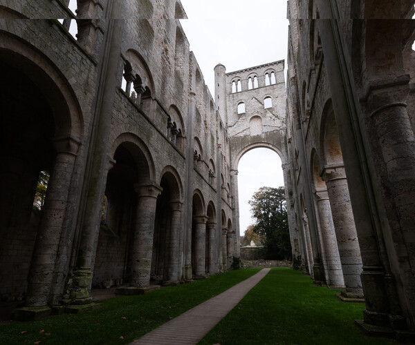 Abbey RuinsChurch · 1.0 mi
 St. Bridgets WellHoly well · 1.0 mi
 Rattin CastleCastle, tower house · 1.4 mi
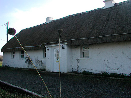 farm housefarm house · 1.5 mi
 Moat HillMountain / peak · 3.6 mi
 Knockdrin HillMountain / peak · 3.8 mi
 Roundhill WoodForest · 6.6 mi
 Rahin WoodsForest · 6.8 mi
 Croppies' GraveMemorial · 8.4 mi
 Allen family memorial headstoneMemorial · 13 mi