What is recorded here
An irregular spread (Wth 1.6m; D 0.15m) of brushwood, roundwoods (diam. 0.07-0.18m) and pegs with no discernible structure. Some pockets of charcoal were located amongst the wood. Several species were recorded including ash, birch and hazel and large growth rings were noted on the ash and birch timbers. Two of the pegs (L 0.35m) had worked ends, one of which was hazel. The site was destroyed before its location could be surveyed.
Compiled by: Irish Archaeological Wetland Unit (University College Dublin).
Date of upload: 23 May 2011
This remains an important historical record, but the official description says the monument is no longer visible or has been destroyed. The monument record does not grant public access. Check the route and ask the landowner before entering private land.
- What survives
- No visible remains or recorded as destroyed
Places near here
 Enclosure in ClonbonniffEnclosure · 1223 yd
 Enclosure in Clonlyon, CastlequarterEnclosure · 1373 yd
 Clonlyon CastleCastle, tower house · 1520 yd
 Mullanakill Church (in Ruins)Church · 1732 yd
 Site of Faddanmore CastleCastle, unclassified · 1.2 mi
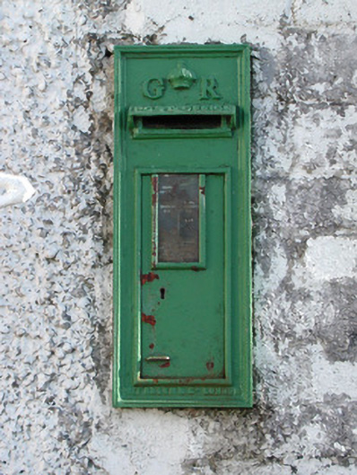 post boxpost box · 1.6 mi
 Endrim HillMountain / peak · 2.9 mi
 St. Saran's WellSpring · 2.9 mi
 Ballylin Bog BoardwalkHeritage attraction · 3.1 mi
 Kilbeg WoodWood · 3.6 mi
 Saint Reaghan's WellSpring · 3.9 mi
 Cloghan HillMountain / peak · 4.1 mi