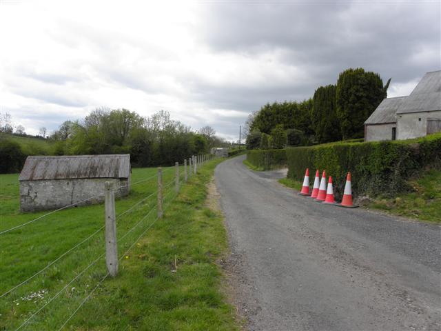
What is recorded here
The site (Wth 1.9m; D 0.13m) is orientated NNE-SSW and consists of brushwood (diam. 0.02-0.05m) predominantly of ash. The brushwood is up to six layers in depth and laid in three discrete bundles, with occasional pieces lying obliquely. Toolmarks were evident.
The monument record does not grant public access. Check the route and ask the landowner before entering private land.
- What survives
- Recorded monument
Places near here
 StructureStructure, peatland · 319 yd
 RoadRoad, class 3 togher · 366 yd
 rails (section of)rails (section of) · 1420 yd
 Enclosure in ClonadergEnclosure · 1.3 mi
 Long IslandIsland · 1.7 mi
 European ashEuropean ash · 1.8 mi
 CastleCastle, ringwork · 3.6 mi
 Wren's IslandIslet · 3.6 mi
 Castle O'BrienCastle · 3.8 mi
 Endrim HillMountain / peak · 4.0 mi
 ClonmacnoiseMuseum · 4.4 mi
 Graveyard in ClonmacnoiseGraveyard · 4.4 mi
Other information
Photo: Credit not shown in the picture search · Rights wording not checked; contact us if this picture should be removed