What is recorded here
The site (L 392.78m; Wth 0.9m; D 0.28m) is orientated NE-SW and consists of longitudinal oak planks, usually only one plank wide and deep. Additional features include a small number of woodchips at one sighting and occasional roundwoods lying longitudinally beside or transversely beneath the principle planks. At one sighting, some brushwood is also associated with the site. The planks are mostly radially split. The site has been dendrochronologically to 940±9 BC (Q9250). SMR OF007-311---- may comprise displaced elements of this site. SMR OF007-325----, which has produced a comparable dendrochronological date, is also likely to be related to this site.
Compiled by: Irish Archaeological Wetland Unit (University College Dublin).
Date of upload: 23 May 2011
The monument record does not grant public access. Check the route and ask the landowner before entering private land.
- What survives
- Recorded monument
Places near here
 StructureStructure, peatland · 321 yd
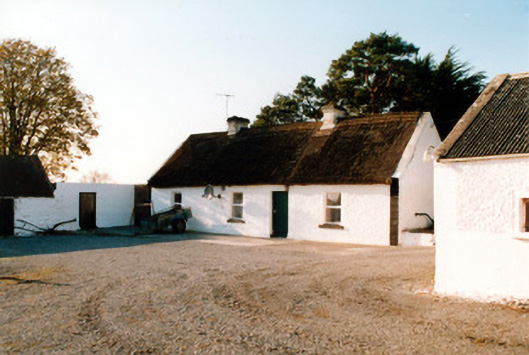 farm housefarm house · 905 yd
 RoadRoad, class 3 togher · 1045 yd
 Enclosure in CastlearmstrongEnclosure · 1344 yd
 Castle ArmstrongHouse, fortified house · 1442 yd
 Lemanaghan CastleCastle, tower house · 1.5 mi
 European ashEuropean ash · 1.6 mi
 Inchaloon IslandIslet · 3.4 mi
 Cocta HillMountain / peak · 3.7 mi
 Saint Reaghan's WellSpring · 4.0 mi
 Ballylin Bog BoardwalkHeritage attraction · 4.2 mi
 Endrim HillMountain / peak · 4.3 mi