
What is recorded here
In Derryvella, part of the Littleton Bog complex. A togher (L 247.37m min.; Wth 4m; D 0.2m) orientated roughly E-W, which possibly connected the ecclesiastical enclosure (TS048-035002-) with a church (TS048-035001-) and graveyard (TS048-035003-) located on a dryland island to the W and an possible ringfort (TS048-036----) and enclosure (TS048-037----) on the NE side of the bog. It is composed of two layers. The upper layer consists of closely laid transverse oak timbers (L2.5m max.; Wth 0.25-0.3m; D 0.06-0.08m). Beneath this is a substructure of longitudinal runners, both planks and roundwoods (diam. 0.15-0.2m). A layer of brown, gritty, silty clay is incorporated into the substructure. The composition of the togher was consistent where it survived, but across its length it was fragmentary in some places and missing in others due to disturbance by machinery.
Compiled by: Jean Farrelly
Date of upload: 17 September 2012
The monument record does not grant public access. Check the route and ask the landowner before entering private land.
- What survives
- Recorded monument
Places near here
 RoadRoad, unclassified togher · 252 yd
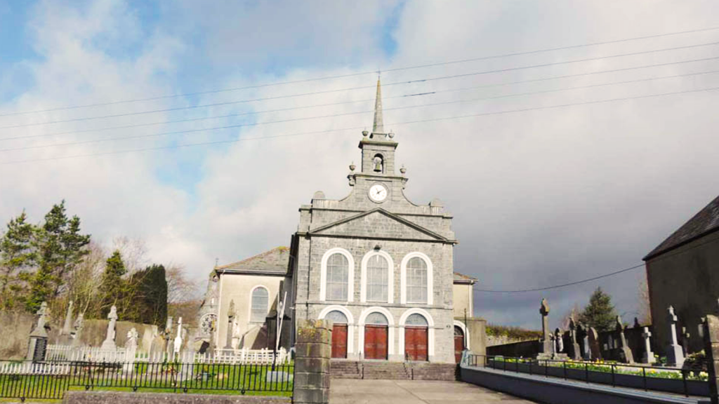 Derryvella Church (in Ruins)Church · 386 yd
 Grave YardEcclesiastical enclosure · 416 yd
 StructureStructure, peatland · 602 yd
 Waterloo HillMountain / peak · 1.3 mi
 Derrynaflan TrailHeritage attraction · 1.6 mi
 Bog Castle (in Ruins)Castle, unclassified · 2.0 mi
 Mellisson CastleCastle, tower house · 2.3 mi
 Gobban Saer's GraveArchaeological place · 3.2 mi
 Sweet ChestnutSweet Chestnut · 3.4 mi
 Slieveardagh Heritage CentreVisitor information · 3.4 mi
 Horse and JockeyVisitor information · 4.0 mi
Other information
Photo: Credit not shown in the picture search · Rights wording not checked; contact us if this picture should be removed