What is recorded here
The site (L 68.5m; Wth 2.95m; D 0.26m) is orientated N-S and is constructed of morticed planks, roundwoods and brushwood. It varies in surviving width (Wth 2.7-3.25m) and depth (D 0.08-0.26m) along its length. At the N extent, it is constructed of two layers with a basal layer of predominantly longitudinal brushwood with some transverses and fragments of split timbers. Above this is a morticed plank, secured by a peg. The upper surface is formed of longitudinal planks (Wth 0.06-0.22m; D 0.01-0.048m), roundwoods (diam. 0.065-0.09m) and brushwood. The larger elements are concentrated on the W side of the site and a deposit of lighter brushwood elements is present at the E extent. Three pegs (diam. 0.055m) are set at 75-90° angles securing the larger elements in place. Woodworking is evidenced by the seven, very thin, radially split planks, by stone toolmarks on the end of one of the pegs and by the D-shaped mortice. This portion of the site is in moderately humified fen peat with Sphagnum and a very high proportion of unidentified reeds.
Beyond this, to the S, there is no discernable structure evident, although there is brushwood on the field surface, along the line of the site. The S extent consists of a transverse plank, brushwood, roundwoods and some possible pegs. A chert scraper (02E0942:2) was recovered from the field surface 1.4m to the N of this sighting. This site was dendrochronologically dated to 3643±9 BC or later (Q10345).
Compiled by: Irish Archaeological Wetland Unit (University College Dublin).
Date of upload: 23 May 2011
The monument record does not grant public access. Check the route and ask the landowner before entering private land.
- What survives
- Recorded monument
Places near here
 Settlement desertedSettlement deserted, medieval · 639 yd
 Derrygreenagh HillMountain / peak · 1135 yd
 StructureStructure, peatland · 1303 yd
 RoadRoad, class 3 togher · 1396 yd
 Knockdrin HillMountain / peak · 1.6 mi
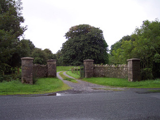 Sidebrook Housegates/railings/walls · 1.7 mi
 Croghan HillMountain / peak · 2.7 mi
 OConor Falys or Croghan Castle (in ruins)House, fortified house · 3.0 mi
 Finnrenashark Holy WellSpring · 3.0 mi
 Croghan Hill WalkVisitor information · 3.0 mi
 Castlelost MoatCastle, motte and bailey · 3.4 mi
 Holy PlantationForest · 3.9 mi