
What is recorded here
This roadway (L 960m; D 1.25m) consisted of large transverse oak planks, supported by longitudinal runners and secured by pegs. Excavated in 1957 by Rynne (NMI file I.A. 32/57), the orientation was recorded as approximately E-W and it was noted that areas of sticky clay appeared to have been purposely laid between the longitudinal timbers (av. diam. 0.1m). Large transverse planks (av. dims. L 3.6m; Wth 0.15m; D 0.2m) were laid across the longitudinal timbers and were held in place with sharpened stakes or pegs. Although largely destroyed by peat-milling, excavations in 1989 by Raftery (1990, 37-41) exposed a surviving portion of the togher (L 14m; Wth 4.5m max.). The structure appeared to be broadly similar to that described previously but with concentrations of brushwood (D 0.45m max.) more evident in the substructure; the orientation was recorded as ENE-WSW. This togher is comparable with the Iron Age road (LF022-058001-) at Corlea and is of similar date. Dendrochronological dating revealed a date of 156±9 BC (Q7931M). A portion of the togher inspected in 1999 by Dunne (1999) was found to be supported by a band of sandy/gravelly material. (Raftery 1996, Derraghan More, 94-104; Rynne 1996, 95-8)
Compiled by: Mary Tunney based on data supplied by the former Irish Archaeological Wetland Unit, University College, Dublin, and the Archaeological Development Services.
Date of upload: 26 August 2011
The monument record does not grant public access. Check the route and ask the landowner before entering private land.
- What survives
- Recorded monument
Places near here
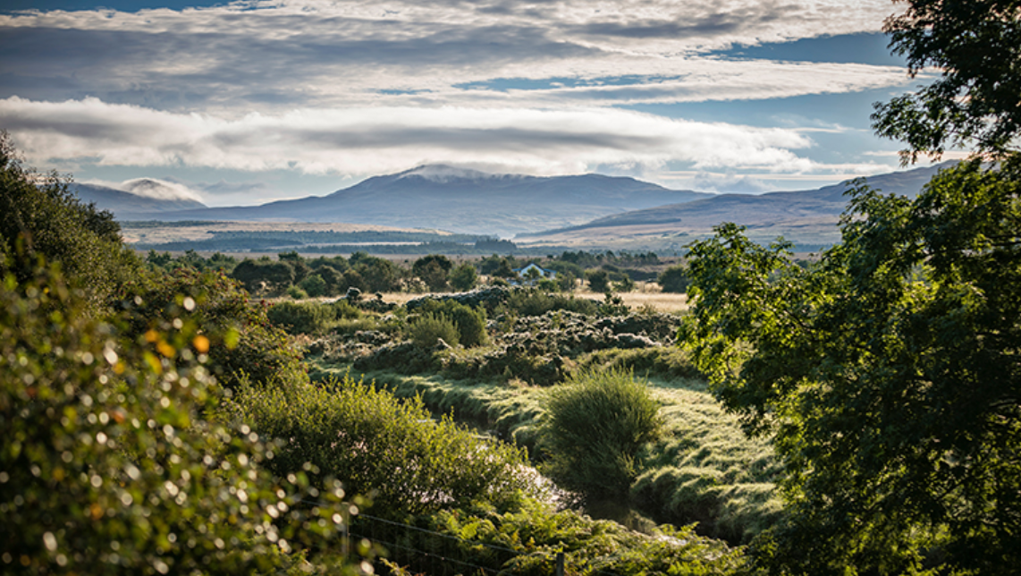 PlatformPlatform, peatland · 81 yd
 RoadRoad, class 3 togher · 380 yd
 StructureStructure, peatland · 886 yd
 water pumpwater pump · 1.3 mi
 Corlea Bog Walk Blue LoopWalking route · 2.0 mi
 Caltragh CastleCastle, unclassified · 2.2 mi
 Elfeet CastleCastle, Anglo-Norman masonry castle · 3.6 mi
 Culnagore WoodForest · 3.8 mi
 Bush IslandIslet · 4.1 mi
 Elfeet BayBay · 4.1 mi
 Priest's IslandIslet · 4.3 mi
 White Sand WoodWood · 4.7 mi
Other information
Photo: Credit not shown in the picture search · Rights wording not checked; contact us if this picture should be removed