What is recorded here
The site (L 212.91m; Wth 2.04m; D 0.23m) is orientated NNW-SSE and constructed of brushwood and roundwood, 0.03-0.23m below the field surface. It is comprised of light brushwood, twigs and occasional roundwoods, most of which are longitudinally laid. The compaction and width (Wth 0.3-2.04m) of the structure varies along its length.
At its SE end the structure is densest and consists of two deposits (Wth 0.4-0.45m) of longitudinally laid pieces of brushwood, up to 5 rods deep with some occasional twigs. The material towards the top of the deposit is orientated E-W and there is a possible peg at the base of the deposit. Two roundwoods, one on each side, are located 0.18-0.34m from the main body of the structure. This site is situated in poorly humified Sphagnum peat above a pocket of poorly humified Sphagnum Cuspidatum. This site has been radiocarbon dated to cal. AD 1402-1486 (UCD-9969).
Compiled by: Irish Archaeological Wetland Unit (University College Dublin).
Date of upload: 23 May 2011
The monument record does not grant public access. Check the route and ask the landowner before entering private land.
- What survives
- Recorded monument
Places near here
 Enclosure in Coole (eglish By.)Enclosure · 958 yd
 StructureStructure, peatland · 1130 yd
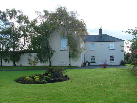 Clonbeale Housecountry house · 1220 yd
 RoadRoad, class 3 togher · 1256 yd
 Killyon Abbey (in ruins)Bawn · 1.5 mi
 Fortel CastleCastle, tower house · 1.7 mi
 Woodville WoodWood · 2.6 mi
 Birr Heritage CentreMuseum · 2.9 mi
 Oriental planeOriental plane · 2.9 mi
 James Franklin FullerMemorial · 3.0 mi
 Waterfall PointViewpoint · 3.2 mi
 The Great Telescope 'Leviathan'Heritage attraction · 3.2 mi