What is recorded here
Under Mayor's Walk, a twelve-metre timber fence still holds the River Nore back. Medieval hands drove posts and wattle into the floodplain, forcing the water to obey human hunger for dry land. The river resisted, drowned fields, and returned whenever pride slipped. That is why the fence exists: not to decorate the bank, but to mark the place where people stopped asking permission from the water.
Timber riverine revetment fence excavated by Ian Doyle and Brenda O'Meara (01E0821) on E bank of the River Nore at John's Quay/Mayor's Walk (Doyle and O'Meara 2004, 3; Doyle 2006, 270-71). A section of post-and-wattle fence (L 12m) orientated NW-SE incorporating a tree-trunk revealed in the excavation (ibid.). Dating is uncertain but probably medieval and associated with attempts to reclaim the floodplain of the River Nore.
Compiled by: Cóilín Ó Drisceoil
Date of upload: 13 November 2020
The monument record does not grant public access. Check the route and ask the landowner before entering private land.
- What survives
- Recorded monument
Places near here
 St. Francis BridgeMemorial · 59 yd
 Holy well in Gardens (kilkenny City By., St. Mary’s Par.)Holy well · 83 yd
 Angela DelaneyMemorial · 86 yd
 St Francis Abbey (in ruins)Religious house, Franciscan friars · 137 yd
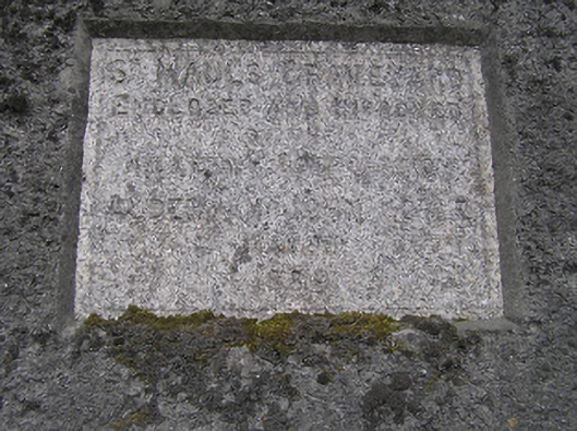 Saint Maul's Graveyardunknown · 148 yd
 Font in Gardens (kilkenny City By., St. Mary’s Par.)Font · 152 yd
 Grace's Old CastleCastle · 301 yd
 Kilkenny CourthouseVisitor information · 303 yd
 Black PoplarBlack Poplar · 304 yd
 Smithwick's Brewery ExperienceHeritage attraction · 308 yd
 Kilkenny Old Jail and CourthouseVisitor information · 315 yd
 Butler GalleryGallery · 373 yd