
What is recorded here
Located in upland rocky terrain on a SE-facing slope, with extensive views to W, overlooking the valley of Lough Nafooey, which is backed by the Maumturk mountains to SW and the Partry Mountains to NE.
This saint’s stone or traditional shrine is not recorded on the OS 6-inch maps. It is known locally as 'Lorg Padraig'. It consists of a small, low bedrock slab (0.5m NNE-SSW; 0.25m WNW−ESE) which protrudes from the ground surface. On the flat, upper surface of the stone there is a natural, shallow indentation (L 0.16m E-W; Wth 0.11m at E, 0.04m at W end; D 0.02m), trapezoidal in plan, which roughly resembles a footprint. According to local tradition, the indentation was made by the foot of St. Patrick.
At the time of visit, the ‘saint’s footprint’ was filled with small votive offerings, including coins, a plastic rosary beads, a small metal cross, and religious medallions.
The stone is enclosed by a roughly built drystone wall (Wth 0.25m; H 0.3-0.4m, 0.6m on the downslope side). The wall tightly hugs the outline of the saint’s stone, enclosing it in a rough U-shape, closed at E by a single upright stone (H 0.6m; Wth 0.5m).
Attached images:
MA120A011----_01.JPG Shrine viewed from E
MA120A011----_01.JPG The 'footprint' surrounded by religious artefacts/offerings.
This monument was notified to NMS by Michael Gibbons.
Compiled by: Jane O’Shaughnessy
Date of upload: 18 April 2019
is associated with a local tradition of healing and protection, where visitors historically left offerings such as coins or ribbons tied to the stone. The site may have pre-Christian roots, later Christianized and linked to an unnamed saint or local holy figure.
The monument record does not grant public access. Check the route and ask the landowner before entering private land.
- What survives
- Recorded monument
Places near here
 Enclosure in Mám TrasnaEnclosure · 485 yd
 Hilltop enclosure in An ComarHilltop enclosure · 613 yd
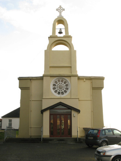 Catholic Church of the Immaculate Conceptionchurch/chapel · 1358 yd
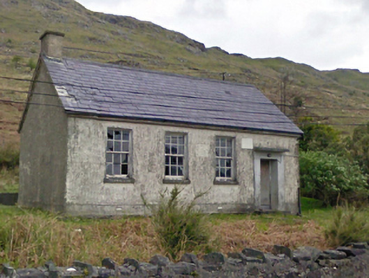 Finny National Schoolschool · 1.3 mi
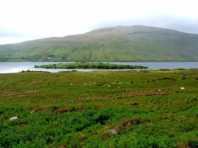 Earls IslandIslet · 1.5 mi
 BencorraghMountain / peak · 1.5 mi
 Wood IslandIslet · 1.6 mi
 Joyce Country SheepdogsHeritage attraction · 2.8 mi
 Doon RockNamed rock · 2.9 mi
 Ben BegMountain / peak · 3.5 mi
 Ballindeonagh Castle (in ruins)Castle, unclassified · 5.1 mi
 CastlekirkCastle · 6.0 mi
Other information
Photo: Credit not shown in the picture search · Rights wording not checked; contact us if this picture should be removed