What is recorded here
This monument is described by Stout (1991, 267) as:
This site is situated on flat terrain 170m S of the Mattock River. The soil is a gley derived from shale and limestone till. Closely associated with Monknewtown is Site S (ME019-017----), a probable passage tomb, located only 150m SE of the enclosure (O’Kelly 1978, 63). Fieldwork and excavations carried out by Sweetman revealed what would originally have been an almost circular area, 107m in maximum overall diameter, delimited by a flat-topped bank. The surviving section of the bank reaches 1.5m in maximum height and measures 11m wide at its base (Sweetman 1976, Pl. III). Eleven possible pit burials and a cremation in a Carrowkeel bowl were confined to the NW part of the site. Six of the pots produced remains of cremated bone; in one case (Burial VIII) the cremation was contained in a bucket-shaped pot. A habitation site and ring-ditch were exposed in the SW section of the enclosure. A small, 0.4m deep, V-shaped ditch, probably associated with the Beaker activity, ran in an arc from the centre of the enclosure to the inner edge of the bank. The burial and domestic activity are considered by the excavator to represent contemporary Beaker occupation of the site.
(Sweetman 1971; 1976; C. O’Kelly 1978, 63; Ó Ríordáin 1979, 158; Clare 1986, 311; Moore 1987m 40, No. 311)
Date of revision: 10 January 2017
This monument is subject to a preservation order made under the National Monuments Acts 1930 to 2014 (PO no. 19/1976).
The monument record does not grant public access. Check the route and ask the landowner before entering private land.
- What survives
- Recorded monument
Places near here
 Enclosure in MonknewtownEnclosure · 392 yd
 Font (present location) in MonknewtownFont (present location) · 422 yd
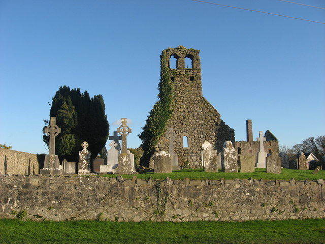 Church (in Ruins)Church · 492 yd
 mill (water)mill (water) · 579 yd
 School WoodForest · 1.4 mi
 Knowth Timber CircleHeritage attraction · 1.4 mi
 KnowthArchaeological place · 1.4 mi
 Quarry Garden WoodForest · 1.5 mi
 Dowth CastleCastle, tower house · 1.6 mi
 Proudfootstown CastleCastle, unclassified · 1.8 mi
 Brú na Bóinne Visitors CentreVisitor information · 2.1 mi
 Hurcle HillMountain / peak · 2.3 mi