What is recorded here
Cropmark of circular-shaped area (approx. diam. 14m) defined by a fosse with pit in centre visible on Google earth aerial imagery. Possible ring-ditch immediately to N.
See attached image taken from Google Earth aerial photographs taken 28/06/2018.
Compiled by: Caimin O'Brien based on details kindly provided by Seán Sourke.
The monument record does not grant public access. Check the route and ask the landowner before entering private land.
- What survives
- Recorded monument
Places near here
 IndicatedCastle, tower house · 560 yd
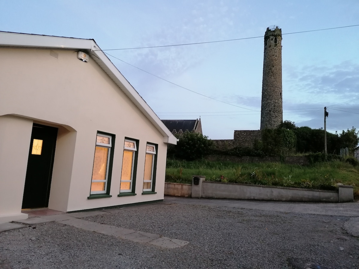 Enclosure in BallysizeEnclosure · 982 yd
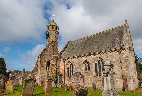 Brides Church (in ruins)Church · 1077 yd
 Digby Bridge and 16th Lockbridge · 1322 yd
 Enclosure in CastlesizeEnclosure · 1.2 mi
 Sallins LodgeCastle, tower house · 1.7 mi
 Museum of MotorsportMuseum · 1.8 mi
 Naas ParkWood · 2.3 mi
 Monread District Park WoodsWood · 2.3 mi
 Poplar SquarePicnic place · 2.7 mi
 Grand Canal WayVisitor information · 4.9 mi
 Athgoe HillMountain / peak · 8.2 mi