What is recorded here
Situated on top of a hill with the headwaters of the W-E Brackan River c. 150m to the N. The cropmark of rectangular enclosure (WX011-040001-) defined by two fosse features is visible on aerial photographs (MM (52) 31–37). A ring-ditch (diam. c. 10m) is overlapping the outer fosse at the E corner.
Compiled by: Michael Moore
Date of upload: 12 April, 2012
The monument record does not grant public access. Check the route and ask the landowner before entering private land.
- What survives
- Recorded monument
Places near here
 farm housefarm house · 946 yd
 White WellHoly well · 1057 yd
 Fulacht fia in BalloughterFulacht fia · 1134 yd
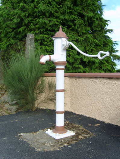 water pumpwater pump · 1337 yd
 Milshoge RockMountain / peak · 1627 yd
 Carrigroe HillMountain / peak · 1.9 mi
 Giants BedNamed rock · 2.2 mi
 Camolin WoodForest · 2.7 mi
 The GroveWood · 3.1 mi
 Father Murphy CentreHeritage attraction · 4.8 mi
 Ferns Castle (in ruins)Castle, Anglo-Norman masonry castle · 4.9 mi
 1798 MonumentMemorial · 5.4 mi