What is recorded here
Situated on a rise on a slight N-facing slope. A small circular ring-ditch (diam. c. 5m) defined by a single fosse feature is visible on aerial images (OSAP: 1995). It was first identified in 2012 by Mr Colin Byrne, Briarleas, Co. Meath, and it is also visible on Google Earth (14/07/2018).
Compiled by Geraldine Stout
Date of upload: 13/03/2012
Amended: 21 August 2019
The monument record does not grant public access. Check the route and ask the landowner before entering private land.
- What survives
- Recorded monument
Places near here
 Font in TrubleyFont · 182 yd
 Trubley CastleCastle, tower house · 345 yd
 mill (water)mill (water) · 1552 yd
 Small-leaved ElmSmall-leaved Elm · 1726 yd
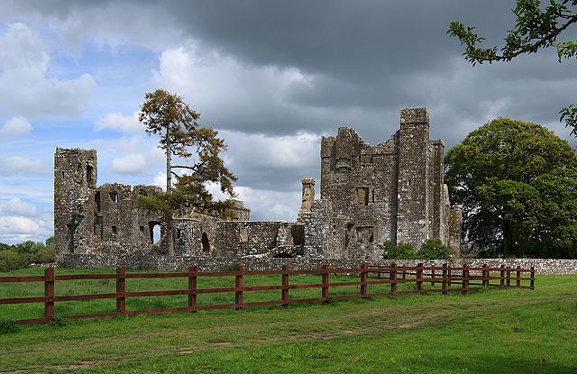 IndicatedCastle, tower house · 1.0 mi
 AbbeyReligious house, Cistercian monks · 1.0 mi
 Enclosure in BectiveEnclosure · 1.3 mi
 Wych ElmWych Elm · 1.4 mi
 Battle of Tara (Ireland)Major battlefield · 4.5 mi
 Battle of Tara Hillbattle · 4.5 mi
 Saint Patrick'sMemorial · 4.5 mi
 Hill of TaraVisitor information · 4.6 mi