What is recorded here
Tankardstown North holds a hidden ring-ditch, perhaps belonging to a lost ringfort. The earth may have swallowed the place while people lived elsewhere.
In reclaimed pasture with possible ringfort (LI039-105----) to N. Cropmark of ring-ditch (diam. c. 10m) visible on Google Earth orthoimage taken 28/06/2018.
See attached Google Earth orthoimages
Compiled by: Caimin O'Brien
Date of upload: 4 May 2021
The monument record does not grant public access. Check the route and ask the landowner before entering private land.
- What survives
- Recorded monument
Places near here
 Site of CastleCastle, unclassified · 1222 yd
 Hachured, Crow FieldEnclosure, large enclosure · 1502 yd
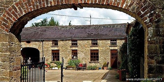 Enclosure in BrureeEnclosure · 1556 yd
 bridgebridge · 1.0 mi
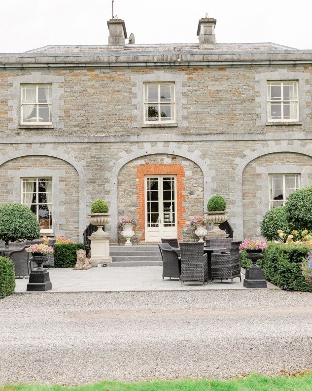 Tankardstown Church (in ruins)Church · 1.1 mi
 Bruree Castle Upper (ruins)Castle · 1.5 mi
 King John's CastleCastle · 2.5 mi
 Lady's WellSpring · 3.6 mi
 ToberSpring · 3.7 mi
 Holy Cross CemeteryGraveyard · 4.9 mi
 Ballinvreena LoopVisitor information · 8.3 mi
 Flat cemetery in Knockainy WestFlat cemetery · 8.3 mi