What is recorded here
Situated on a fairly level landscape. The cropmark of a circular enclosure (diam. c. 15m) defined by a single continuous fosse feature is visible on aerial photographs (ASIAP (5) 2-4; GB89.AO.32). It is also visible on digital aerial photographs (WX053-089_1 to _3) taken in 2006.
Date of upload: 03 March 2010
Amended: 25 March, 2014
The monument record does not grant public access. Check the route and ask the landowner before entering private land.
- What survives
- Recorded monument
Places near here
 The RingRuins · 337 yd
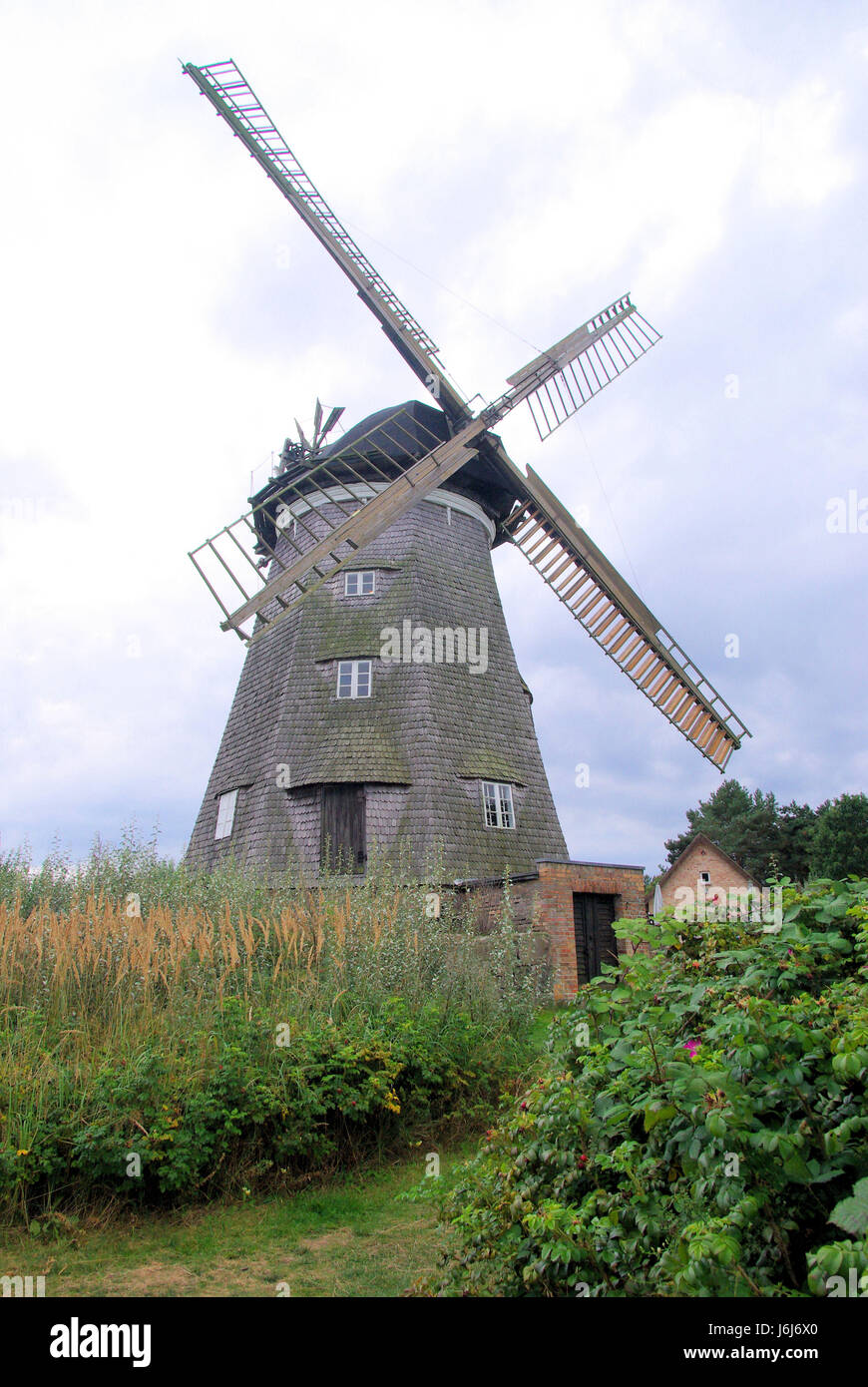 Wind MillWindmill · 1038 yd
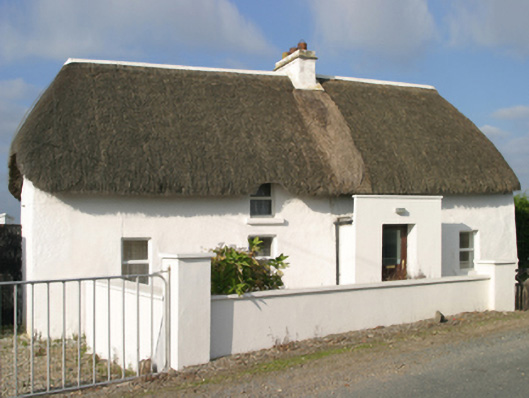 Sutton Cottagefarm house · 1058 yd
 InishIsland · 1109 yd
 Wind Mill StumpWindmill · 1202 yd
 Site of CastleCastle, unclassified · 1272 yd
 The Chour / The Hill of the ChourMountain / peak · 1509 yd
 CastleHouse, fortified house · 1749 yd
 ScargeenIsland · 1.0 mi
 The CaamstoneNamed rock · 1.0 mi
 Lady's IslandVisitor information · 1.1 mi
 The Caravan RockNamed rock · 1.4 mi