What is recorded here
Located towards the top of an E-facing slope. The cropmark of a small circular enclosure (diam. c. 8m) defined by a single fosse is visible on Bing images. It is also visible on OSI images (1995) and on Google Earth (29/06/2018). It was first reported by Jean Charles Caillére.
See the attached enhanced view from OSI images (1995)
Compiled by: Michael Moore
Date of upload: 25 January 2023
The monument record does not grant public access. Check the route and ask the landowner before entering private land.
- What survives
- Recorded monument
Places near here
 Stone CrossCross, High cross · 874 yd
 Socket of Stone CrossCross, High cross · 923 yd
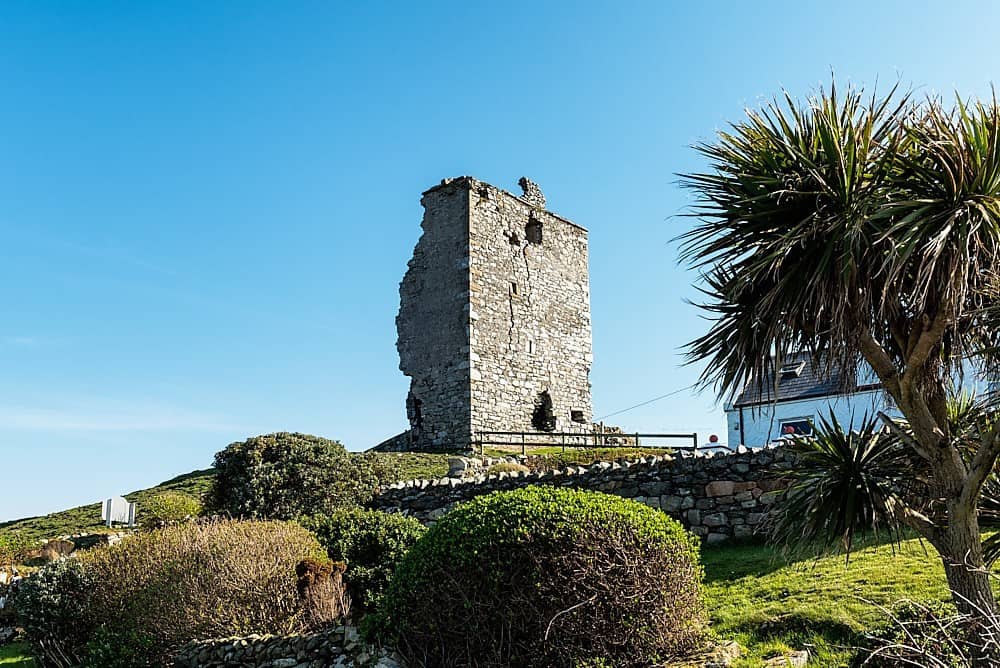 CastleCastle, unclassified · 1488 yd
 Stokestown CastleCastle, unclassified · 1.2 mi
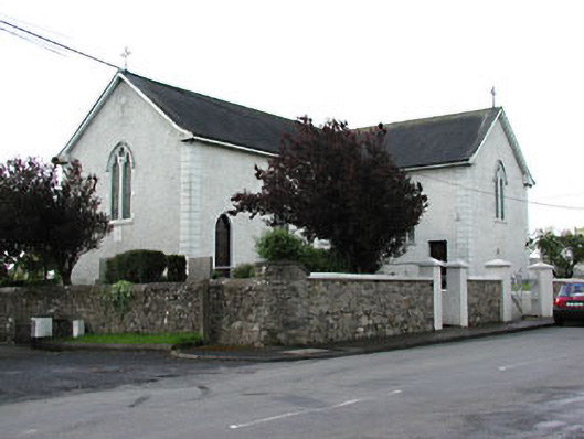 Saint Patrick's Catholic Churchchurch/chapel · 1.6 mi
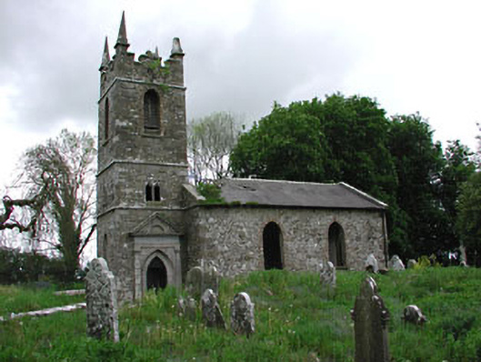 Saint Patrick's Church (Castletown)church/chapel · 1.6 mi
 European YewEuropean Yew · 1.8 mi
 Gun HillMountain / peak · 2.2 mi
 Headstown ForestForest · 2.5 mi
 HeadstownMountain / peak · 2.5 mi
 Nobber GreenwayMemorial · 3.9 mi
 Pat's Art StudioGallery · 7.6 mi