What is recorded here
In flat wet reclaimed floodplain of the Morningstar River 80m to NW, immediately SSE of barrow (LI039-022----). Cropmark of ring-ditch (diam. c. 19m) bisected by a post-1700 drainage channel running E-W visible on Digital Globe aerial image taken 2011-13.
See attached Google Earth orthoimages.
Compiled by: Caimin O'Brien
Date of upload: 14 April 2021
The monument record does not grant public access. Check the route and ask the landowner before entering private land.
- What survives
- Recorded monument
Places near here
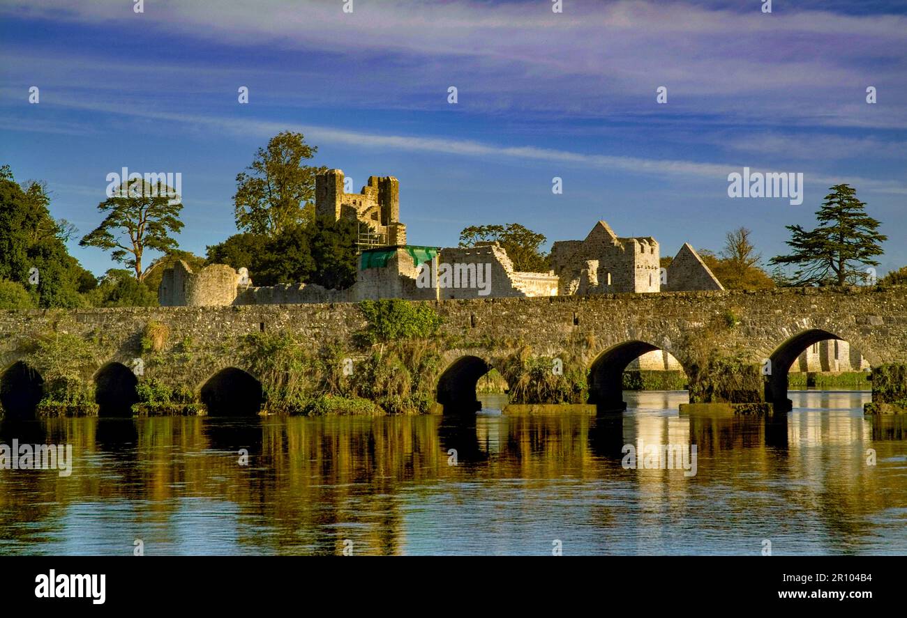 BarrowBarrow, unclassified · 45 yd
 Burial in RathcannonBurial · 235 yd
 OutlinedBawn · 1466 yd
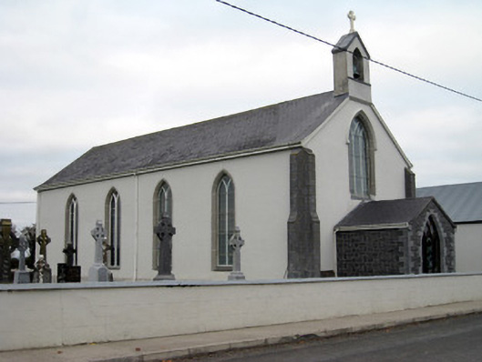 Catholic Church of Saint John the Baptistchurch/chapel · 1.2 mi
 Castle IeversCastle, unclassified · 1.2 mi
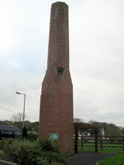 chimneychimney · 1.2 mi
 Monasteranenagh AbbeyHeritage attraction · 3.5 mi
 European ashEuropean ash · 4.4 mi
 Lough GurVisitor information · 4.7 mi
 Biodiversity in the Maigue CatchmentVisitor information · 5.1 mi
 Pedunculate OakPedunculate Oak · 5.7 mi
 The SpectaclesVisitor information · 5.8 mi