What is recorded here
One of three enclosures identified as cropmarks on an aerial photograph (CUCAP BGG026, 16 July 1971). This ring-ditch consists of a circular fosse (diam. c. 10m). There is an enclosure (KK019-042001-) c. 70m to the SW and another enclosure (KK019-042003-) c. 30m to the N.
See attached:
KK019-042002-_01 aerial photograph CUCAP BGG026, 16 July 1971
Compiled by: Jean Farrelly
Date of upload: 6 October 2020
The monument record does not grant public access. Check the route and ask the landowner before entering private land.
- What survives
- Recorded monument
Places near here
 Enclosure in OutrathEnclosure · 89 yd
 IndicatedEnclosure, large enclosure · 620 yd
 Danville Housefarm house · 1103 yd
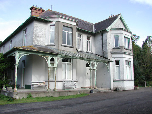 Archersgrove Househouse · 1535 yd
 Ivan PowerMemorial · 1737 yd
 Michael CarthyMemorial · 1.0 mi
 WelcomeVisitor information · 1.4 mi
 HedgerowVisitor information · 1.4 mi
 Castle BamfordCastle, tower house · 1.8 mi
 Grace's Old CastleCastle · 2.0 mi
 Smithwick's Brewery ExperienceHeritage attraction · 2.0 mi
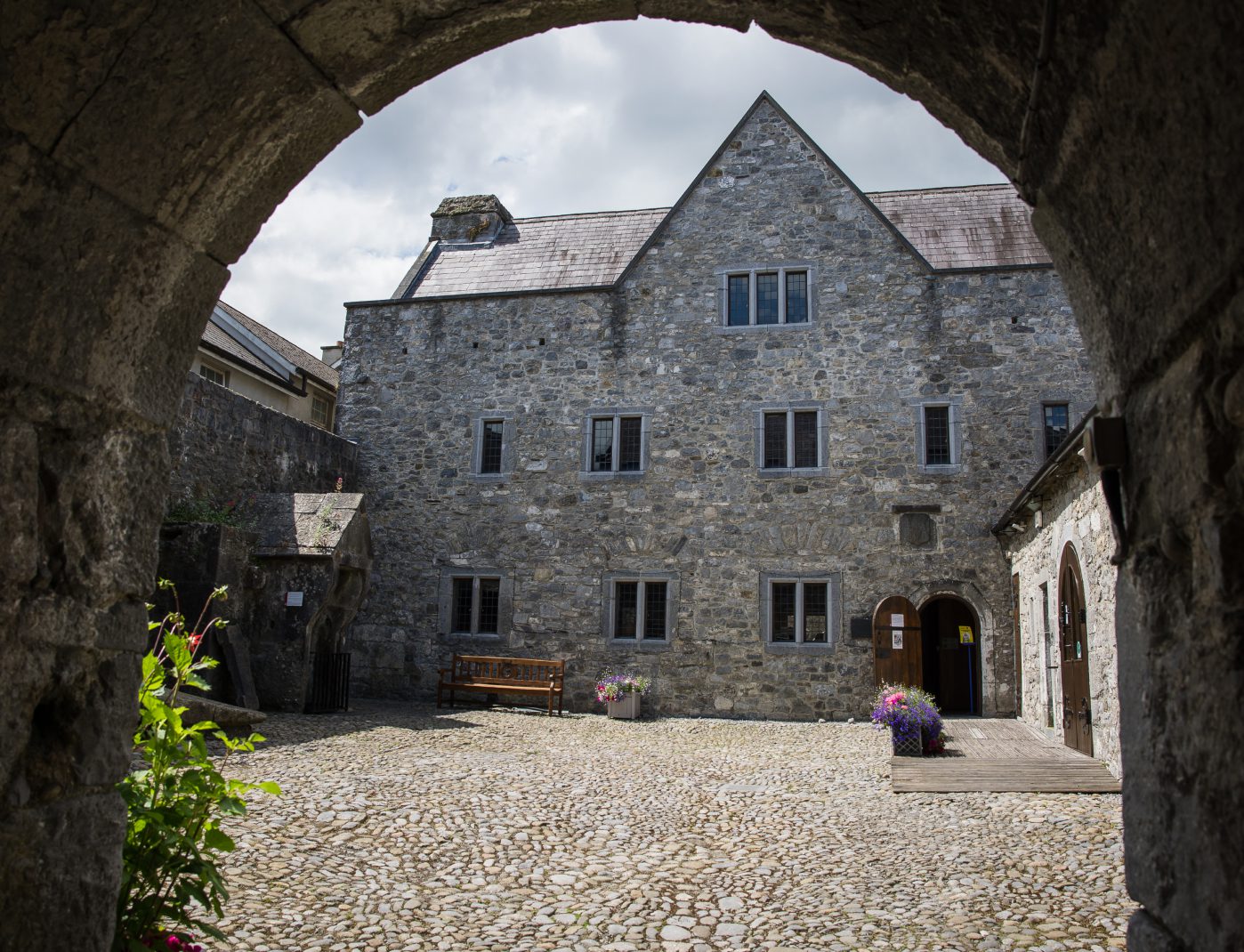 Rothe House & GardenMuseum · 2.0 mi