What is recorded here
Situated at the E end of a slight E-W ridge on a NE-facing slope. A small circular enclosure (diam. c. 5m) defined by a single fosse feature is visible on OSI aerial images (1995) and (2005). It can also be seen faintly on Google Earth (07/05/2017). (Cooney et al. 2001, vol. 1, 43-4)
See the attached view (R) from OSI images (1995)
Compiled by: Michael Moore
Date of upload: 7 November, 2017
The monument record does not grant public access. Check the route and ask the landowner before entering private land.
- What survives
- Recorded monument
Places near here
 European YewEuropean Yew · 318 yd
 Battle of the BoyneMajor battlefield · 466 yd
 Battle of the Boyne Visitor CentreMuseum · 498 yd
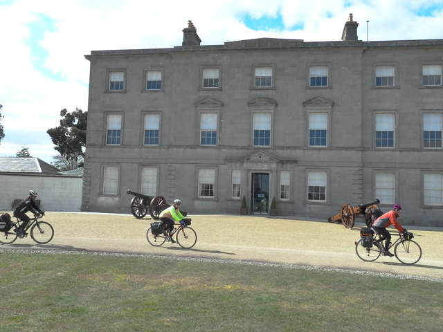 Oldbridgecountry house · 501 yd
 Enclosure in OldbridgeEnclosure · 532 yd
 pill boxpill box · 568 yd
 Grove IslandIslet · 910 yd
 Proudfootstown CastleCastle, unclassified · 963 yd
 Enclosure in TullyallenEnclosure · 1121 yd
 Yellow IslandIslet · 1465 yd
 Glenmore ForestWood · 1.2 mi
 Dowth CastleCastle, tower house · 1.5 mi