What is recorded here
Situated on a slight E-W ridge in a fairly level landscape. The cropmark of a small circular feature (int. diam. c. 10m) defined by a single fosse feature is visible on an aerial image (OSAP: 1995). The ring-ditch (ME049A003002-) is 23m to the E along the rise, and they were first noted by Tom Condit in 2017. Archaeological testing (19E0547) by L. Coen (2019, 12) confirmed this feature (excavations.ie 2019:243) as a circular platform (int. diam. c. 12m; ext. diam. 15.75m) defined by a V-shaped fosse (Wth 1.05-2.7m; D 0.8m) filled with a brown sandy clay. Later, it was completely excavated (19E0686) by the same archaeologist (excavations.ie 2020:305) when it was recorded as a circular area (ext. diam. 15.8m) defined by an annular fosse (Wth 1.2-2.45m; D 0.48-1.24m) which was deepest at S-SW. There was no uncut causeway or any internal features and the ditch had eight naturally-accumulating deposits. A fragment of ash charcoal from a lens of silty material at the base of the fosse at SW returned a C14 date of 1620-1490 cal. BC (UBA: 43429), placing it in the Middle Bronze Age. The sample contained some burnt human bone, but no artefacts were recovered. (Coen 2020, 4)
See the attached enhanced view (_1) from OSAP (1995) and the finished excavation (_2) on left
Date of upload: 9 January, 2017
Amended: 27 August 2019, 28 May 2021, 12 July 2022;
The monument record does not grant public access. Check the route and ask the landowner before entering private land.
- What survives
- Recorded monument
Places near here
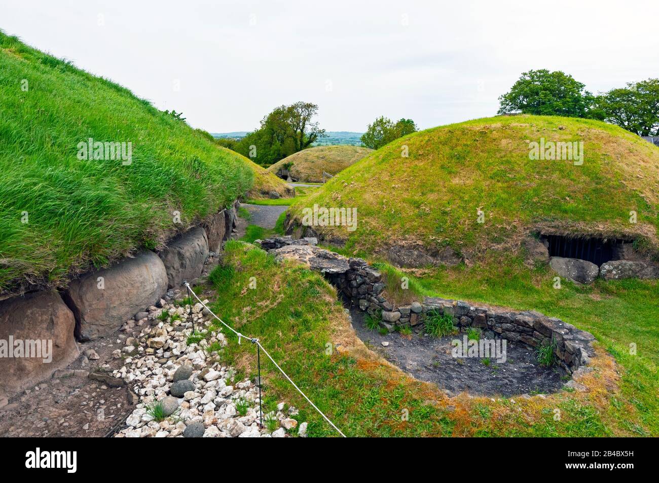 Enclosure in Newtownmoyaghy (deece Upper By., Moyglare Par.)Enclosure · 517 yd
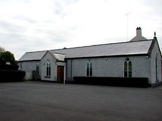 Catholic Church of the Assumptionchurch/chapel · 870 yd
 Chambers Bridge and 15th Lockbridge · 910 yd
 IndicatedHoly well · 1000 yd
 Rodanstown fortCastle, motte · 1.4 mi
 Mass was there in Penal TimesMemorial · 1.5 mi
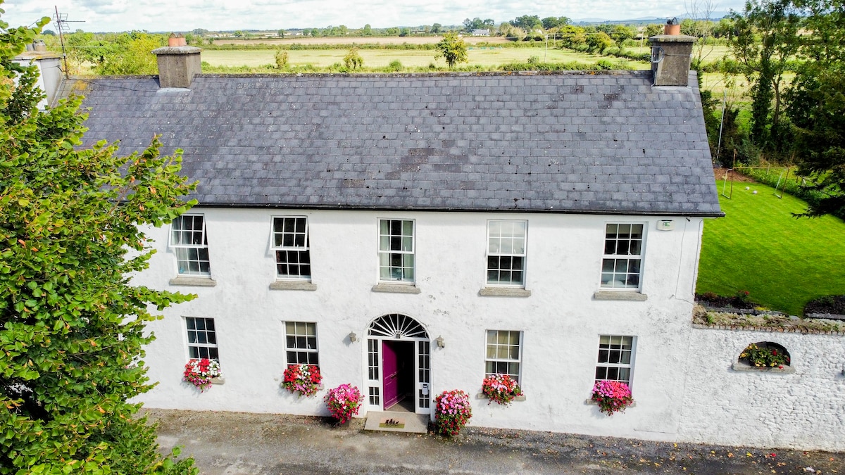 Bawn in PitchfordstownBawn · 1.6 mi
 Oscoil Na hÉirean Má NuadMemorial · 2.4 mi
 Library GardenHeritage attraction · 2.5 mi
 Library CatHeritage attraction · 2.5 mi
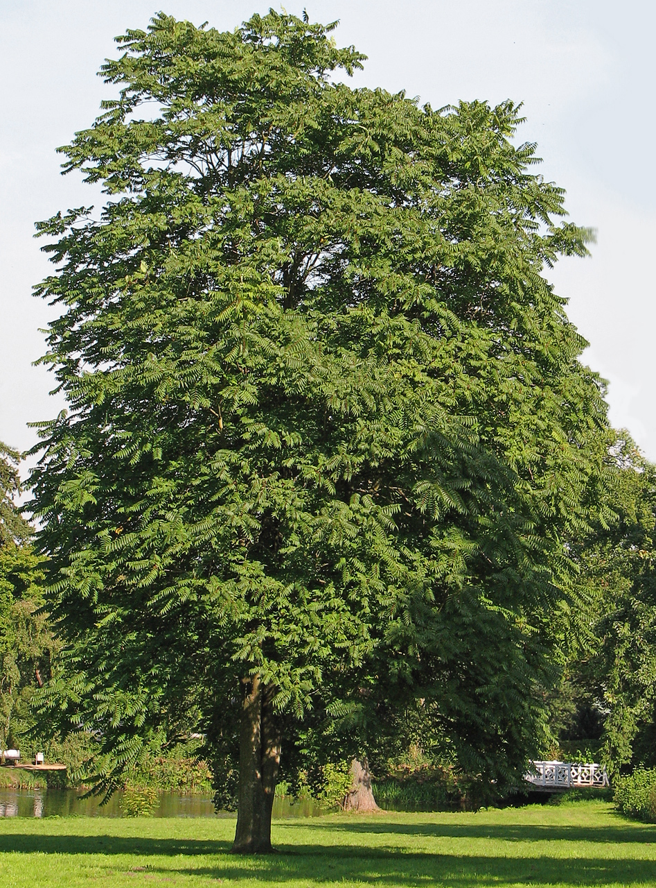 Tree of HeavenTree of Heaven · 2.7 mi
 Common LimeCommon Lime · 2.9 mi