What is recorded here
This small, sub-circular enclosure was identified by geophysical survey in 2005 and appears to be a partly ploughed-out ring-ditch (Schot 2005; 2011). Located in the SW quadrant of the hilltop enclosure (WM024-187----), c.70m SW of the mound (WM024-173----), it is defined by fragmented linear and pit-type responses and measures c.8.5m in maximum diameter.
Compiled by: Dr. Roseanne Schot
Date of upload: 08 May 2019
The monument record does not grant public access. Check the route and ask the landowner before entering private land.
- What survives
- Recorded monument
Places near here
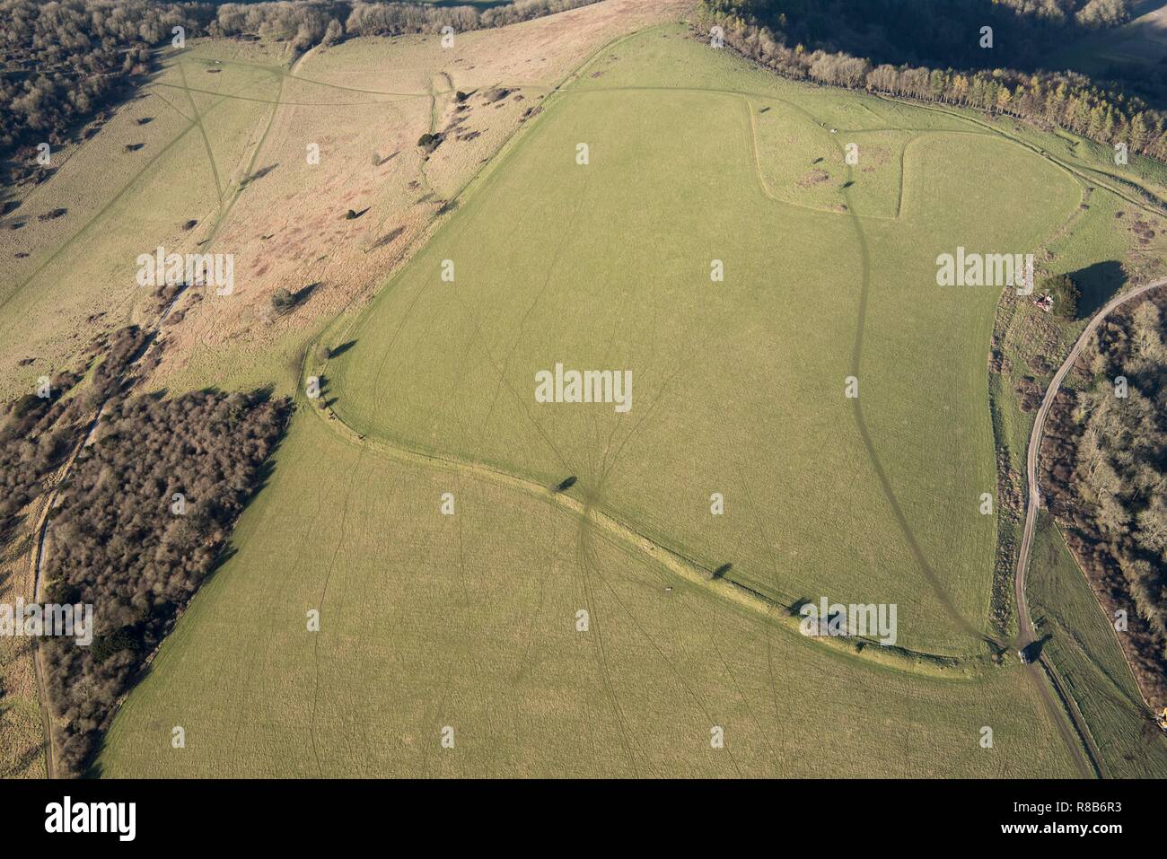 Hilltop enclosure in Rathnew,ushnagh Hill,mweelraHilltop enclosure · 124 yd
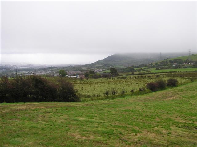 OutlinedRitual site, pond · 142 yd
 Hill of UisneachMountain / peak · 445 yd
 Lunestown Housedemesne walls/gates/railings · 791 yd
 Togherstown Housegates/railings/walls · 1157 yd
 Boleyvillish CastleCastle · 1386 yd
 Bawn in KillarecastleBawn · 1.1 mi
 European ashEuropean ash · 1.1 mi
 Sam's ParkForest · 2.9 mi
 KnockastiaMountain / peak · 4.6 mi
 Abbeyshrule AbbeyRuins · 7.5 mi
 Guest ServicesVisitor information · 7.8 mi