What is recorded here
In tillage. A small circular enclosure (diam. c. 10m), defined by a fosse which is visible as a cropmark on satellite imagery (Apple Maps), identified and reported by Jean-Charles Caillère. Another ring-ditch (TN010-119----), also visible as a cropmark, is located c. 15m to the SE.
See attached imagery:
TN010-118----_01 Apple Maps satellite imagery
Compiled by: Jean Farrelly
Date of upload: 3 July 2023
The monument record does not grant public access. Check the route and ask the landowner before entering private land.
- What survives
- Recorded monument
Places near here
 Enclosure in Eminiska (modreeny Par.)Enclosure · 400 yd
 Modreeny Househouse · 405 yd
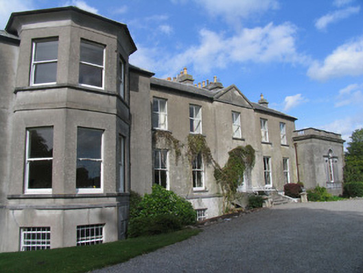 Modreenycountry house · 409 yd
 Castle in ruinsCastle, unclassified · 490 yd
 Enclosure in KnockanacreeEnclosure · 1109 yd
 Knockanacree WoodForest · 1.2 mi
 MacDonagh HouseMemorial · 1.3 mi
 Thomas MacDonagh Heritage CentreMuseum · 1.4 mi
 CastleCastle, tower house · 1.5 mi
 Ballycapple WoodForest · 2.4 mi
 James Devaney MemorialMemorial · 4.9 mi
 Gibbet HillMountain / peak · 9.0 mi