What is recorded here
Situated on a slight E-facing slope. The cropmark of a small circular enclosure (int. diam. c. 10m) defined by a continuous fosse (Wth c. 1-2m) is visible on Apple Maps (2018), with a quarry pit (dims c. 11m x c. 13m) c. 10m to the W. It is not visible on other aerial images, and it was first reported by Jean Charles Caillere.
See the attached enhanced aerial view from Apple Maps (2018)
Compiled by: Michael Moore
Date of upload: 24 June 2021
The monument record does not grant public access. Check the route and ask the landowner before entering private land.
- What survives
- Recorded monument
Places near here
 Liscartan CastleCastle, tower house · 363 yd
 Church (in Ruins)Church · 426 yd
 Rathaldron Ho.Castle, tower house · 521 yd
 Enclosure in NevinstownEnclosure · 1115 yd
 Old CrossCross, Wayside cross · 1172 yd
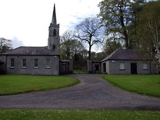 Ardbraccan National Schoolschool · 1596 yd
 Nangle CourtMemorial · 1.4 mi
 DurhamstownMountain / peak · 1.6 mi
 The RampartWood · 2.2 mi
 BohermeenMountain / peak · 2.2 mi
 The New Line RoadMemorial · 2.3 mi
 Donaghmore Round TowerHeritage attraction · 2.7 mi