What is recorded here
Situated on a level low-lying landscape. The cropmark of a small circular area (diam. c. 9m) defined by a single continuous ditch is visible only on iMAPs (2022). It was first reported by Jean Charles Caillére.
See the attached enhanced view from iMAPs (2022)
Compiled by: Michael Moore
Date of upload: 6 June 2023
The monument record does not grant public access. Check the route and ask the landowner before entering private land.
- What survives
- Recorded monument
Places near here
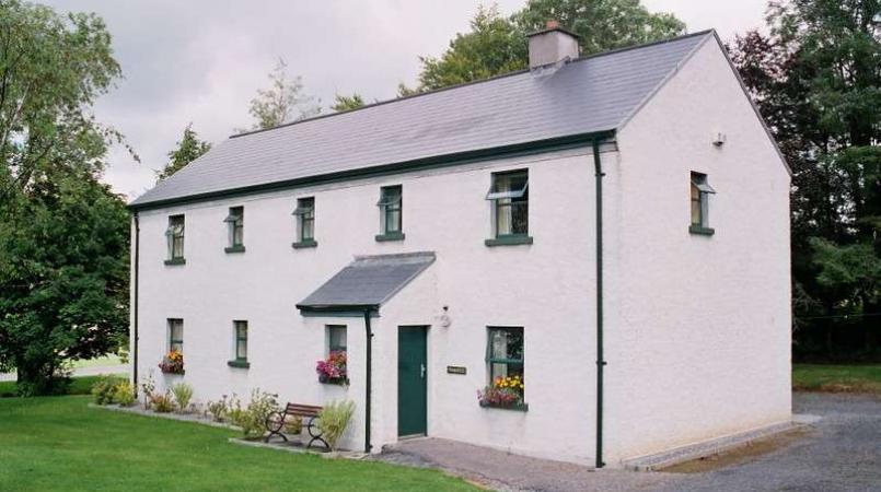 Enclosure in LannaghEnclosure · 361 yd
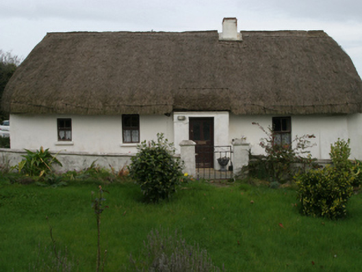 farm housefarm house · 384 yd
 Church in ruinsChurch · 844 yd
 Enclosure in BallyhartyEnclosure · 950 yd
 Castle (in ruins)Castle, tower house · 1.6 mi
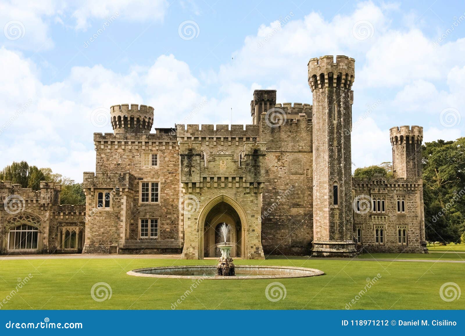 site of CastleCastle, unclassified · 1.9 mi
 Ballyhealy BeachBeach / strand · 2.2 mi
 Ivan Sutton Art ExhibitionGallery · 2.2 mi
 Kilmore Quay - Crehen Twinning MemorialMemorial · 2.3 mi
 Memorial Trail & Garden in Honour of Those Lost at SeaMemorial · 2.4 mi
 Whale boneHeritage attraction · 2.4 mi
 Kilmore Quay Walking TrailVisitor information · 2.4 mi