What is recorded here
One of a cluster of ring-ditches, in tillage field. Cropmark of ring-ditch (diam. c. 6m) visible on OSi Aerial Premium orthoimage taken between 2013-18 and on Google Earth orthoimage taken 26/04/2021. Cropmark of ring-ditches (DU005-108/107----) immediately to SE and SW respectively
See attached OSi orthoimage and Google Earth orthoimage
Compiled by: Caimin O'Brien based on details provided by Jean-Charles Caillère
Date of upload: 22 December 2022
The monument record does not grant public access. Check the route and ask the landowner before entering private land.
- What survives
- Recorded monument
Places near here
 Ring-ditch in KillalaneRing-ditch · 91 yd
 Enclosure in KillalaneEnclosure · 303 yd
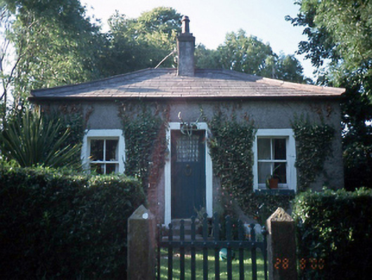 Milverton Hallgate lodge · 741 yd
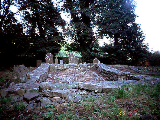 graveyard/cemeterygraveyard/cemetery · 816 yd
 BBQ AreaPicnic place · 1268 yd
 Flat cemetery in BalcunninFlat cemetery · 1272 yd
 Black Hill NurseryWood · 1498 yd
 Man O'War HillMountain / peak · 1691 yd
 Ardgillan CastleHeritage attraction · 1.0 mi
 Ardgillan Castle and DemesneHeritage attraction · 1.0 mi
 Flat cemetery in DarcystownFlat cemetery · 1.2 mi
 New PlantationWood · 1.2 mi