What is recorded here
Situated in a low-lying area that has higher ground all around and with an E-W section of a small canalised stream c. 50m m to the N. The cropmark of a small enclosure (diam. c. 10m) defined by a continuous fosse is most clearly visible on an Aerial Premium image (2013-18). It is also faintly visible on OSI images (1995) and Digital Globe (2011-13), and it was first reported by Jean Charles Caillére.
See the attached enhanced view from Aerial Premium (2013-18)
Compiled by: Michael Moore
Date of upload: 21 January 2022
The monument record does not grant public access. Check the route and ask the landowner before entering private land.
- What survives
- Recorded monument
Places near here
 Church in KilcroneyChurch · 518 yd
 Cave (Site of)Man-made underground passage · 584 yd
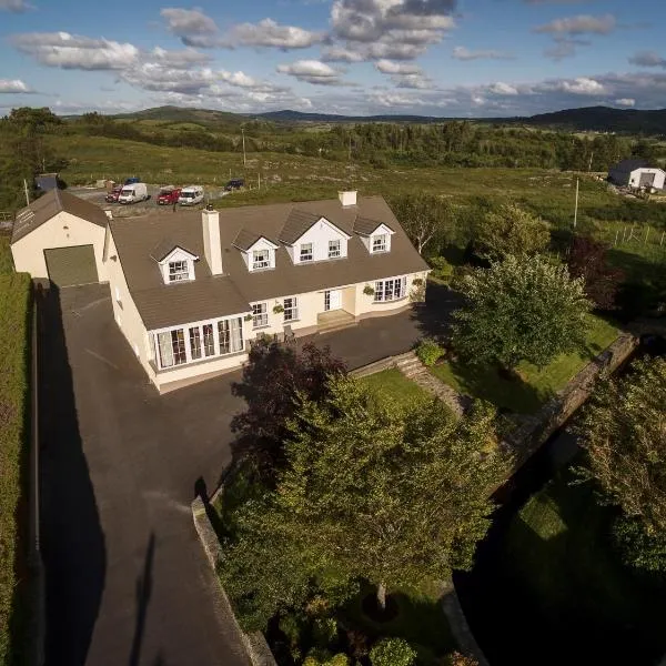 Man-made underground passage in CorderryMan-made underground passage · 1217 yd
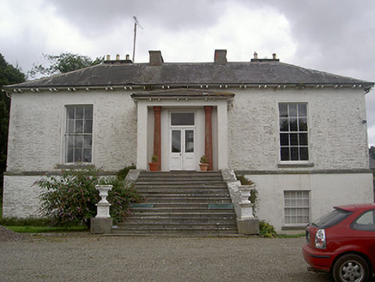 Corderry Housecountry house · 1733 yd
:no_upscale()/cdn.vox-cdn.com/uploads/chorus_asset/file/25593391/County_Louth_6th.jpg) LouthMountain / peak · 1.2 mi
LouthMountain / peak · 1.2 mi CastleCastle, tower house · 1.4 mi
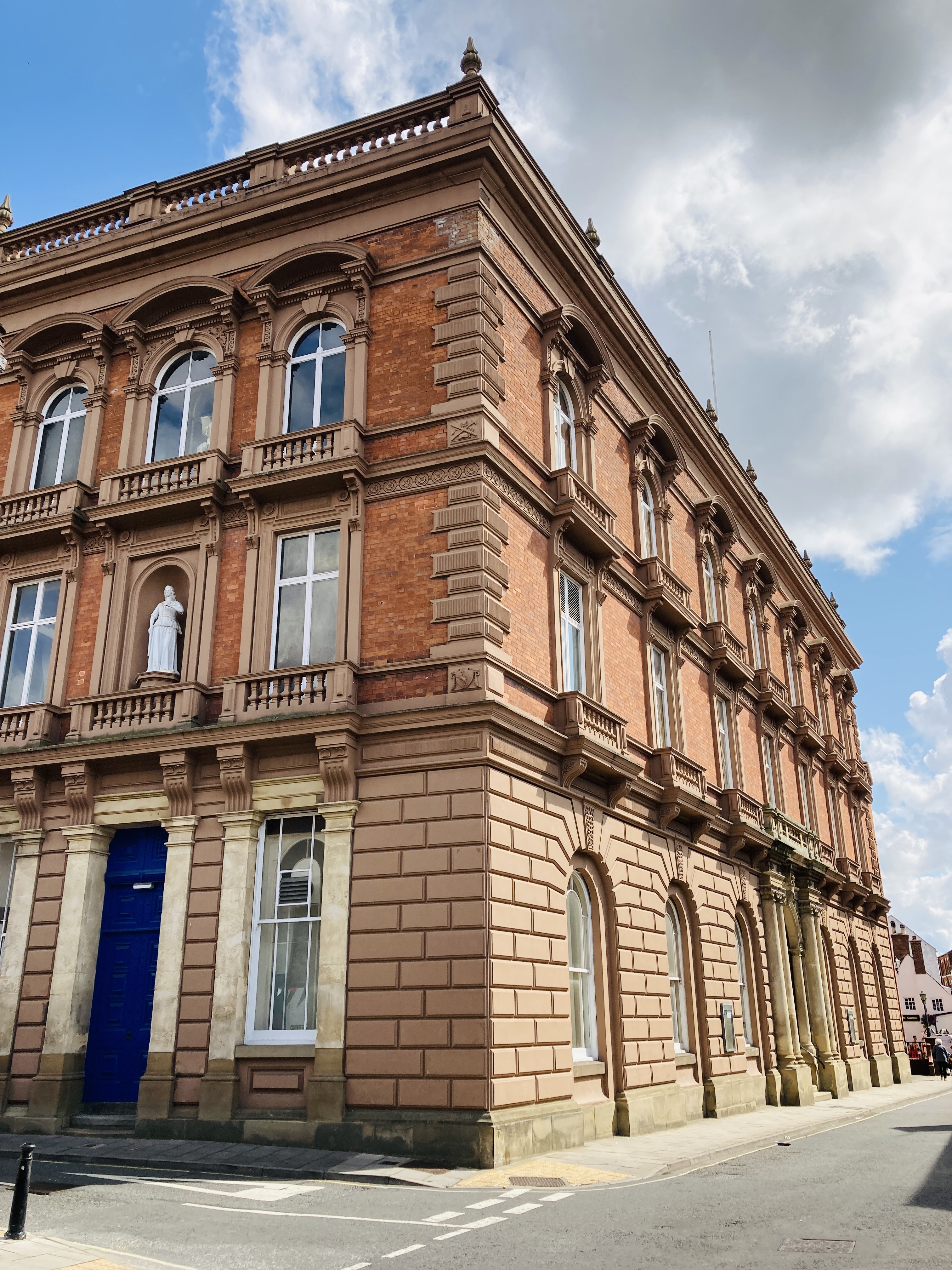 MoatCastle, motte and bailey · 1.9 mi
 Photo GalleryHeritage attraction · 6.1 mi
 Dundalk CentralHeritage attraction · 6.1 mi
 Maid of ErinMemorial · 6.5 mi
 Bombing 1975Memorial · 6.6 mi
 Soldiers' PointHeadland · 8.3 mi