What is recorded here
Underground in Corderry, a narrow stone passage runs south before turning east, pinched to forty centimetres at the roof and marked by two opposite recesses that may have held a wooden door. Built from local greywacke slabs and small lintels, it still keeps the shape of deliberate human movement through dark earth. A side gallery branches from the main chamber, widening the hidden space and suggesting the passage was not a crude hole but a worked threshold, perhaps for storage, ritual or quiet escape. Collapse has closed part of it now, but the surviving lines remain clear enough to imagine someone crawling through stone, listening for echo.
The following description is derived from both the published 'Archaeological Inventory of County Louth' (Dublin: Stationery Office, 1986) and the 'Archaeological Survey of County Louth' (Dublin: Stationery Office, 1991). In certain instances the entries have been revised and updated in the light of recent research.
Date of upload/revision: 17 July 2007
Situated on a prominent rise in undulating countryside. Present entrance is through collapsed lintels in roof of passage. At this point the passage continues to S, but collapse has blocked access after 8.5m. Passage is constructed of corbelled drystone walling, consisting of medium-sized slabs of local greywacke, roofed with small lintels. This passage runs N-S for 8.5m, then turns sharply E-W. Average height 1.4m, Wth at floor 0.9m, Wth at roof 0.4m. At the point where the passage turns to run E-W, two recesses opposite one another run from floor to roof. These possibly represent slots for the wooden jambs of some form of door. The passage narrows to 0.7m wide at this point, but then widens to 1m and continues for 7.2m. In the S wall, 2m from the end of the passage, a creep (H 0.6m, Wth 0.5m, L 0.4m) gives access to a gallery (L 4.8m) running NW-SE (H 1.3m, Wth 1.1m at floor, 0.6m at roof).
The monument record does not grant public access. Check the route and ask the landowner before entering private land.
- What survives
- Recorded monument
Places near here
 Cave (Site of)Man-made underground passage · 977 yd
 Enclosure in WhitecrossEnclosure · 1313 yd
 Church (in Ruins)Church · 1444 yd
:no_upscale()/cdn.vox-cdn.com/uploads/chorus_asset/file/25593391/County_Louth_6th.jpg) LouthMountain / peak · 1468 yd
LouthMountain / peak · 1468 yd Church in KilcroneyChurch · 1611 yd
 CastleCastle, tower house · 1.5 mi
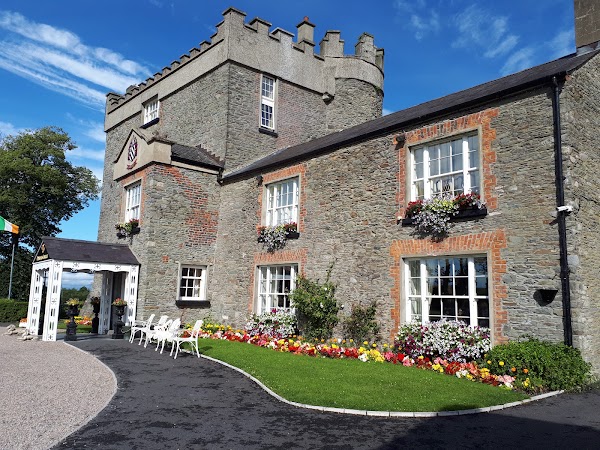 Darver CastleCastle · 2.2 mi
 Photo GalleryHeritage attraction · 5.7 mi
 Dundalk CentralHeritage attraction · 5.7 mi
 Maid of ErinMemorial · 6.1 mi
 Bombing 1975Memorial · 6.1 mi
 Sky HillMountain / peak · 7.8 mi
Other information
Photo: Credit not shown in the picture search · Rights wording not checked; contact us if this picture should be removed