What is recorded here
A possible circular ring-ditch visible as a crop mark on an aerial photograph (see DU015-132----_01.jpg attached. A second possible ring-ditch is visible in the same field immediately to the south (DU015-131----) and an enclosure is visible a further 100m to the north (DU015-129----) (SMR file; pers. comm. Dr Steve Davis). Located on low east-west rise at relatively low point in surrounding landscape. No visible remains.
Compiled by: Paul Walsh
Updated by: Christine Baker
Date of upload: 28 January 2015
The monument record does not grant public access. Check the route and ask the landowner before entering private land.
- What survives
- Recorded monument
Places near here
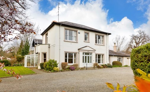 Ring-ditch in HazelbrookRing-ditch · 27 yd
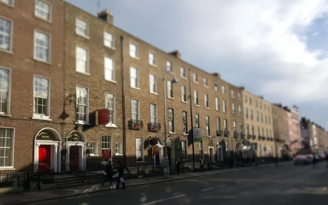 Enclosure in HazelbrookEnclosure · 119 yd
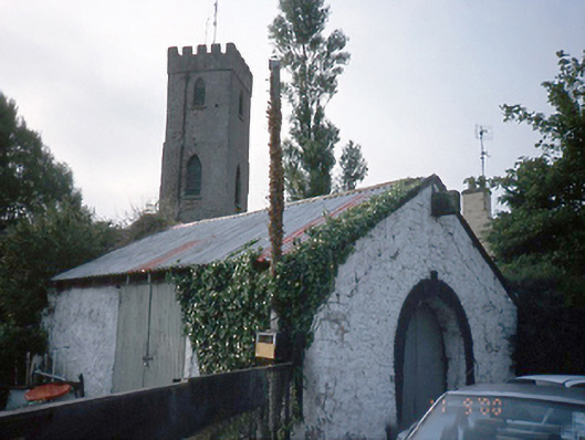 forge/smithyforge/smithy · 292 yd
 Saint Marnock's Church (Portmarnock)church/chapel · 317 yd
 Strand Mill RuinsRuins · 1459 yd
 Black WoodWood · 1569 yd
 MoatCastle, motte and bailey · 1740 yd
 St Catherine's WellSpring · 1.1 mi
 CastleCastle, unclassified · 1.3 mi
 Malahide DemesneVisitor information · 1.3 mi
 Portmarnock BeachBeach / strand · 1.8 mi
 Casino Model Railway MuseumMuseum · 1.8 mi