What is recorded here
Located at the crest of the N-facing slope at the E end of a low E-W ridge. The faint cropmarks of two small enclosures are visible only on Google Earth (21/07/2021). This feature (diam. c. 10m) is defined by a single fosse and is c. 15m N of (LH011-156002-). They were first reported by Jean Charles Caillére.
See the attached enhanced aerial view from Google Earth (21/07/2021)
Compiled by: Michael Moore
Date of upload: 22 October 2021
The monument record does not grant public access. Check the route and ask the landowner before entering private land.
- What survives
- Recorded monument
Places near here
 Enclosure in SummerhillEnclosure · 819 yd
 Enclosure in CarrickmullanEnclosure · 866 yd
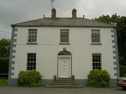 Hollow Househouse · 1467 yd
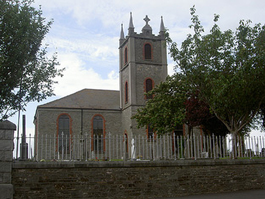 Saint Mary's Catholic Churchchurch/chapel · 1559 yd
 Mount AshCastle, motte · 1.3 mi
 CastleCastle, tower house · 1.4 mi
:no_upscale()/cdn.vox-cdn.com/uploads/chorus_asset/file/25593391/County_Louth_6th.jpg) LouthMountain / peak · 1.9 mi
LouthMountain / peak · 1.9 mi Photo GalleryHeritage attraction · 4.4 mi
 Dundalk CentralHeritage attraction · 4.4 mi
 Maid of ErinMemorial · 4.9 mi
 Bombing 1975Memorial · 4.9 mi
 Sky HillMountain / peak · 6.2 mi