
What is recorded here
Located in a large arable field, c. 160m SSE of another ring-ditch (DU005-090----), where there is evidence for other ring-ditches, enclosures and field system. Visible on Apple Maps imagery (June 2018). Positive cropmarks indicate the presence of a possible subsurface circular feature (ext. diam. c. 12m) defined by a ditch (Wth c. 2m), where visible.
Compiled by: Tom Condit
Uploaded on: 22 April 2021
The monument record does not grant public access. Check the route and ask the landowner before entering private land.
- What survives
- Recorded monument
Places near here
 Ring-ditch in Grange (balrothery East By., Holmpatrick Ed)Ring-ditch · 203 yd
 KilnKiln, corn-drying · 222 yd
 Structure in Grange (balrothery East By., Holmpatrick Ed)Structure · 243 yd
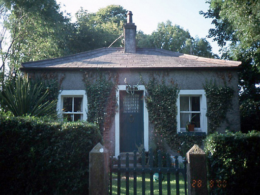 Milverton Hallgate lodge · 465 yd
 Flat cemetery in BalcunninFlat cemetery · 699 yd
 BBQ AreaPicnic place · 1500 yd
 Black Hill NurseryWood · 1614 yd
 Ardgillan Castle and DemesneHeritage attraction · 1.1 mi
 New PlantationWood · 1.2 mi
 Skerries RockMemorial · 1.4 mi
 Man O'War HillMountain / peak · 1.5 mi
 Castle (in ruins)Castle, Anglo-Norman masonry castle · 1.5 mi
Other information
Photo: Credit not shown in the picture search · Rights wording not checked; contact us if this picture should be removed