What is recorded here
First noted on the website http://breeheritage.ie. Situated in a col on a NE-SW ridge between a hill in Ballymorris c. 1km to the SW and ground that is slightly higher than the location c. 300m to the NE, but with lower ground to the NW and SE. A ring-ditch (diam. c. 15m) is visible on Google Earth (2011), but is not recorded on other series of aerial photographs.
Compiled by: Michael Moore
Date of upload: 31 August, 2012
The monument record does not grant public access. Check the route and ask the landowner before entering private land.
- What survives
- Recorded monument
Places near here
 IndicatedFairy fort / ringfort · 995 yd
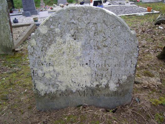 Clonmore Graveyardgraveyard/cemetery · 1580 yd
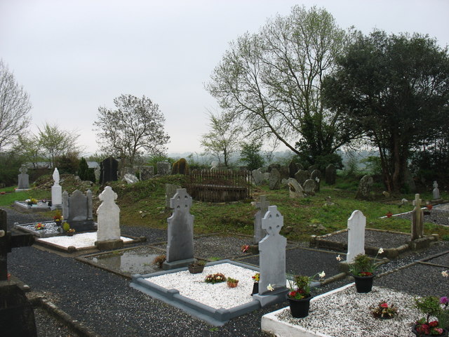 Clonmore Grave YardGraveyard · 1581 yd
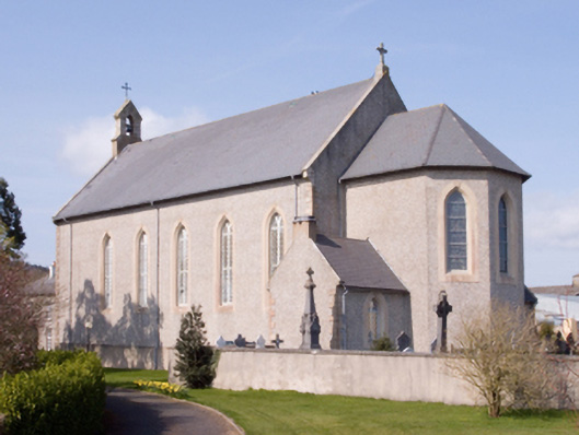 Catholic Church of the Assumptionchurch/chapel · 1.3 mi
 Dick Joynt MemorialMemorial · 1.4 mi
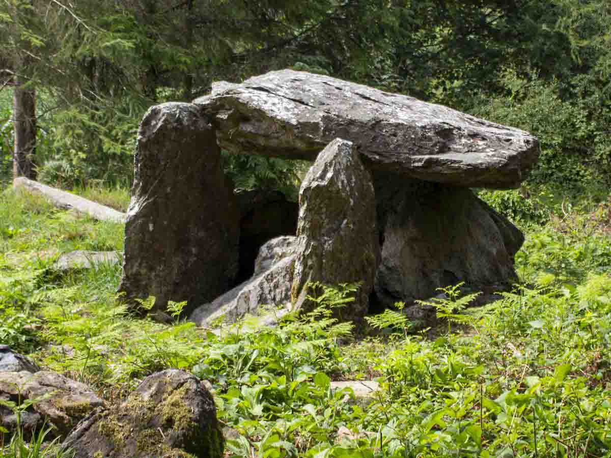 Bree HillMountain / peak · 1.8 mi
 Raheennahoon HillMountain / peak · 1.9 mi
 (Site of) CastleCastle, unclassified · 2.0 mi
 King's IslandIsland · 2.2 mi
 Wilton Ho.Castle, unclassified · 3.0 mi
 Celebrating 125 YearsMemorial · 3.4 mi
 Irish National Heritage ParkHeritage attraction · 6.2 mi