What is recorded here
In the Nore river valley, in tillage. There are a number of ring-ditches in the vicinity (KK010-053001- to KK010-053003-; KK010-054----; KK010-055001- to KK010-055009-; KK010-142----; KK010-152----; KK010-162---- and KK010-187----). Identified as a circular cropmark (diam. c. 10m) on an aerial photograph (CUCAP BOD053, 16 July 1971).
Compiled by: Jean Farrelly
Date of upload: 11 December 2018
The monument record does not grant public access. Check the route and ask the landowner before entering private land.
- What survives
- Recorded monument
Places near here
 Enclosure in Foulksrath (fassadinin By.)Enclosure · 306 yd
 Foulksrath CastleCastle, tower house · 403 yd
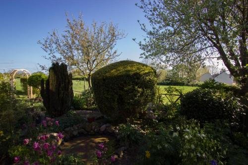 Enclosure in LismaineEnclosure · 605 yd
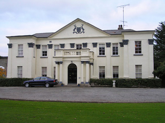 Swifte's Heathcountry house · 1338 yd
 Church & Castle (in Ruins)Church · 1.1 mi
 Castle (in Ruins)Castle, tower house · 1.2 mi
 Saint Coleman's WellSpring · 1.8 mi
 Jenkinstown ParkForest · 2.5 mi
 Graveyard in ThreecastlesGraveyard · 2.7 mi
 Turkey OakTurkey Oak · 2.9 mi
 Emma Jane Browne-ClaytonMemorial · 3.5 mi
 Freshford LoopWalking route · 4.0 mi