What is recorded here
Three dark rings in marshy Flemby land, spaced twenty-five metres apart beneath the Slabh Mis hills. They may have marked small dwellings or storage pits for people who watched the Stacks Mountains rise to the north. The soil still holds their shape, waiting for rain or roots to reveal how much life fit inside each circle.
'Located in level but slightly marshy land at the base of the hills forming the eastern extent of the Slabh Mis, close to LVS039 007, above. The site again affords good views of the Stacks Mountains to the north. The site was noted on colour aerial photography and consists of three small circular crop marks (KE039-203----, KE039-204----, KE039-205----) showing up as dark lines on the photograph. The sites are arranged in a linear group approximately 25m apart and have diameters ranging from approximately 10-18m.'
Description from ‘The Prehistoric Settlement of the Lee Valley, Tralee, Co. Kerry; A Landscape Perspective’ by Michael Connolly. PhD Thesis UCC 2008
Date of upload: 25 June 2012
The monument record does not grant public access. Check the route and ask the landowner before entering private land.
- What survives
- Recorded monument
Places near here
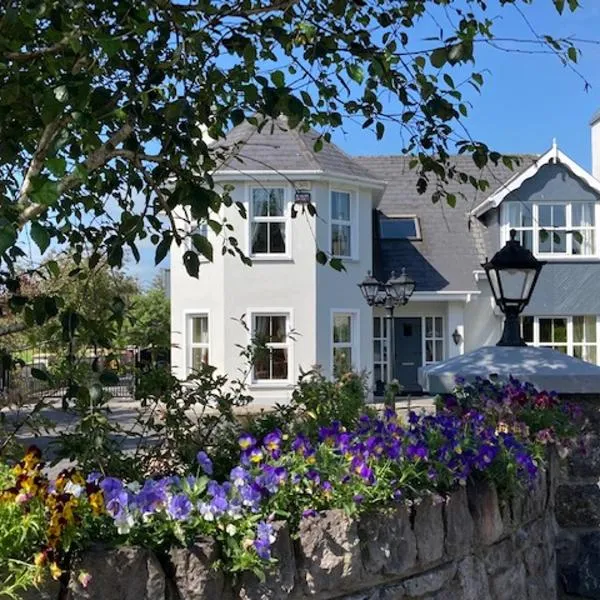 Enclosure in Gortatlea (trughanacmy By.)Enclosure · 944 yd
 Burnt spread in Gortatlea (trughanacmy By.)Burnt spread · 1176 yd
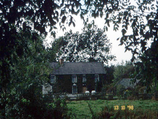 farm housefarm house · 1389 yd
 Bealagrellagh CastleCastle · 1733 yd
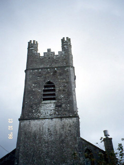 Ballymacelligott Churchchurch/chapel · 1.4 mi
 Site of McElligotts CastleCastle, unclassified · 1.5 mi
 Common AlderCommon Alder · 2.4 mi
 PoulatouirtCave · 2.8 mi
 Poulclashcannon (blocked)Cave · 2.9 mi
 Ballygamboon Forest Recreation AreaWood · 3.5 mi
 Scotia's GraveArchaeological place · 4.3 mi
 Civil War MemorialMemorial · 4.6 mi