What is recorded here
In tillage. A ring-ditch (diam. c. 10m) identified as a cropmark on aerial photograph (GB94.FI.18, 13 August 1994), also visible on satellite imagery (Google Earth, 28 June 2018). There is a larger (diam. c. 35m) enclosure (KK014-059----), also identified as a cropmark, c. 20m to the NE.
See attached Google Earth image (imagery date 28 June 2018)
Compiled by: Jean Farrelly and Dr. Gillian Barrett for the Archaeological Survey of Ireland
Date of revised upload: 19 June 2020
The monument record does not grant public access. Check the route and ask the landowner before entering private land.
- What survives
- Recorded monument
Places near here
 Enclosure in Dunmore WestEnclosure · 56 yd
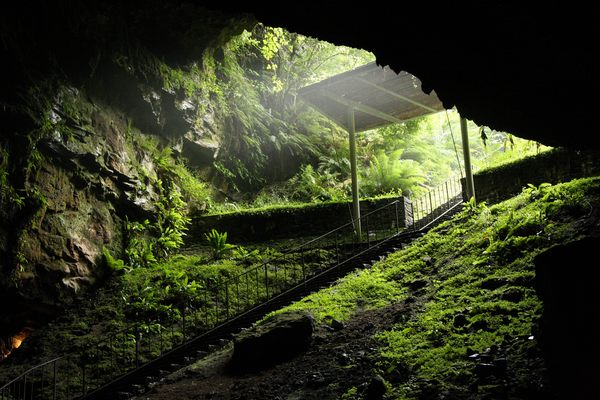 Enclosure in Dunmore (fassidinin By.)Enclosure · 302 yd
 Dunmore Cottagegates/railings/walls · 437 yd
 Rock WoodWood · 1097 yd
 Long WoodWood · 1256 yd
 Catholic Church of the Most Holy Trinitychurch/chapel · 1725 yd
 Castle (in ruins)Castle, unclassified · 1.1 mi
 CastleCastle, unclassified · 1.3 mi
 Trinity WellSpring · 1.7 mi
 Graveyard in ThreecastlesGraveyard · 2.3 mi
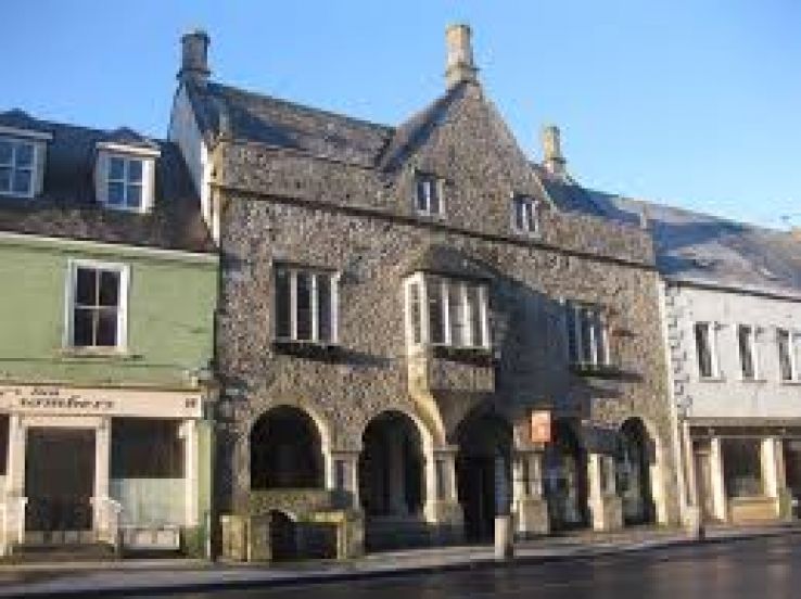 Rothe familyMemorial · 3.3 mi
 Heritage Project Interpretation of the City Walls in Butler HouseVisitor information · 3.7 mi