What is recorded here
Situated on a slight rise in a level landscape. The cropmark of a small circular area (int. diam. c. 5m) defined by a wide fosse feature (Wth c. 3m) is visible on Google Earth (28/06/2018). It was first reported by Anthony Murphy. Archaeological testing (20E0404) by M. McCormick c. 100m to the W at the closest point produce no related material (excavations.ie 2020:248).
See the attached enhanced view from Google Earh
Compiled by Michael Moore
Date of upload: 18 July 2019
Amended: 10 February 2021
The monument record does not grant public access. Check the route and ask the landowner before entering private land.
- What survives
- Recorded monument
Places near here
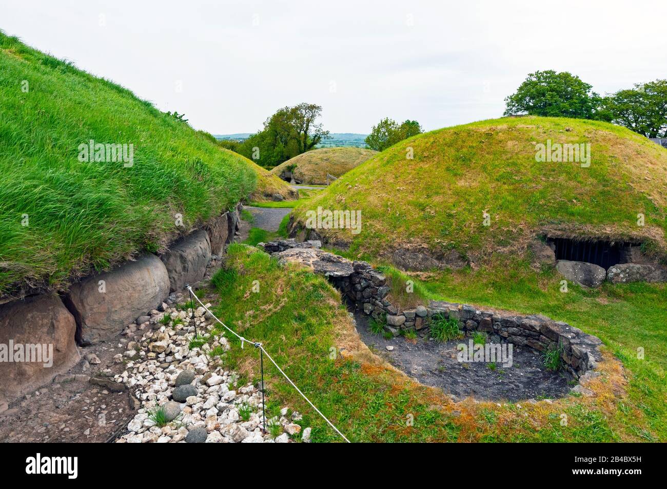 Enclosure in Newtownmoyaghy (deece Upper By., Moyglare Par.)Enclosure · 758 yd
 Catholic Church of the Assumptionchurch/chapel · 809 yd
 The Shrubberygates/railings/walls · 845 yd
 Ecclesiastical site in KilcockEcclesiastical site · 850 yd
 Rodanstown fortCastle, motte · 1.0 mi
 Bawn in PitchfordstownBawn · 1.4 mi
 Mass was there in Penal TimesMemorial · 1.9 mi
 Kilgar GardensHeritage attraction · 2.5 mi
 Oscoil Na hÉirean Má NuadMemorial · 3.0 mi
 Library GardenHeritage attraction · 3.1 mi
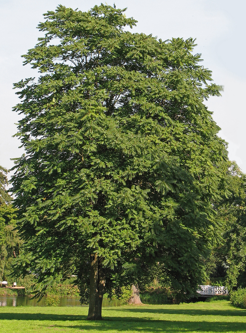 Tree of HeavenTree of Heaven · 3.3 mi
 The OrchardWood · 3.3 mi