
What is recorded here
Located in the NE corner of a large arable field, c. 210m SE of cist and pit burials (DU005-079----), cropmarks indicate the presence of a subsurface bivallate ring-ditch. The ring-ditch, clearly visible on Google Earth imagery (7 May 2017), comprises an outer concentric ditch (ext. diam. c. 30.8m); Wth c. 2m) and inner ditch (ext. diam. c. 16.7m; Wth c. 2m). There are no obvious gaps across the ditches.
Compiled by: Tom Condit
Uploaded on 20 April 2020
The monument record does not grant public access. Check the route and ask the landowner before entering private land.
- What survives
- Recorded monument
Places near here
 Cist in CourtloughCist · 239 yd
 Enclosure in CourtloughEnclosure · 849 yd
 Man of Warhouse · 1014 yd
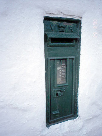 post boxpost box · 1026 yd
 Man O'War HillMountain / peak · 1270 yd
 Wavin LakesNature reserve · 1.3 mi
 Flat cemetery in DarcystownFlat cemetery · 1.4 mi
 Balrothery TowerCastle · 1.5 mi
 Balrothery Heritage CentreMuseum · 1.5 mi
 BBQ AreaPicnic place · 1.9 mi
 CastleCastle, unclassified · 2.0 mi
 Black Hill NurseryWood · 2.0 mi
Other information
Photo: Credit not shown in the picture search · Rights wording not checked; contact us if this picture should be removed