What is recorded here
In tillage. A circular enclosure (diam. c. 9m) defined by a cropmark is visible on satellite imagery (© Google Earth, imagery date 13 August 2015; © 2020 Here), identified and reported by Jean-Charles Caillère. There is a concentric enclosure (KK028-104----) 50m to the NW.
See attached Google Earth image (imagery date 14 July 2018)
Compiled by: Jean Farrelly
Date of upload: 20 April 2020
The monument record does not grant public access. Check the route and ask the landowner before entering private land.
- What survives
- Recorded monument
Places near here
 Concentric enclosure in ColumbkilleConcentric enclosure · 97 yd
 Columbkille Church (in ruins)Ruins · 348 yd
 Holy well in ColumbkilleHoly well · 375 yd
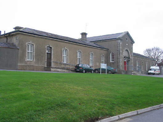 Saint Columba's Hospitalworkhouse · 614 yd
 John Patrick KennedyMemorial · 1245 yd
 The Yellow GateMemorial · 1308 yd
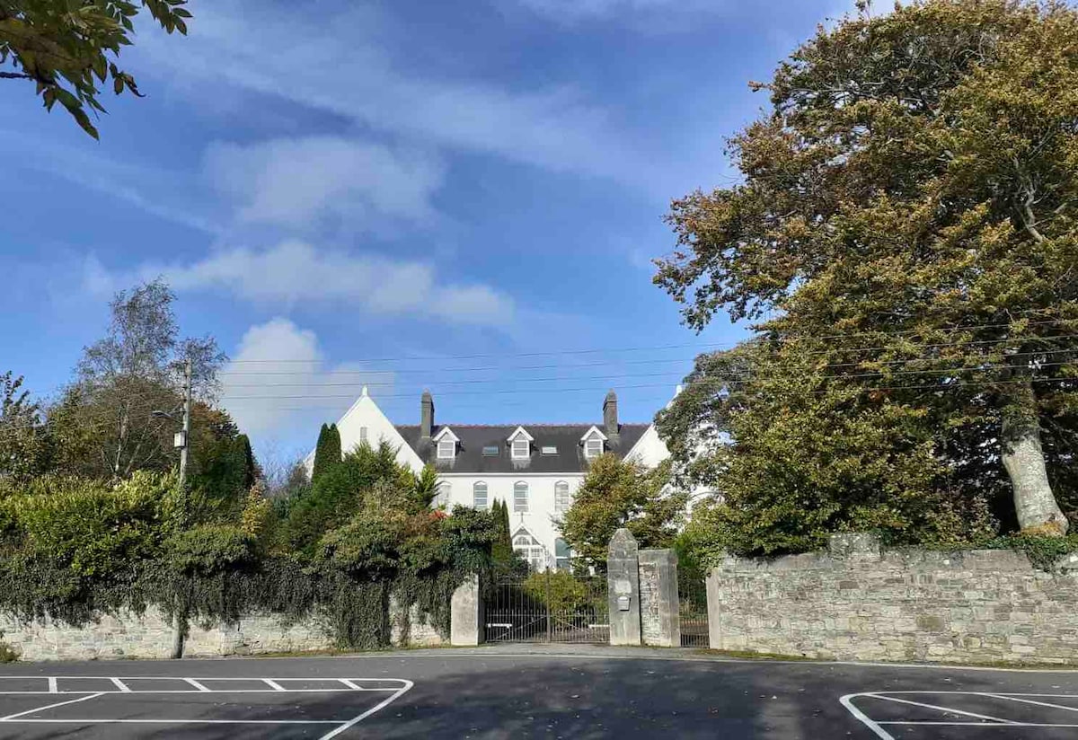 Thomastown QuarryNature reserve · 1457 yd
 CastleCastle, Anglo-Norman masonry castle · 1561 yd
 Horse-chestnutHorse-chestnut · 1.2 mi
 TowerCastle, tower house · 1.4 mi
 Stroan FountainVisitor information · 1.9 mi
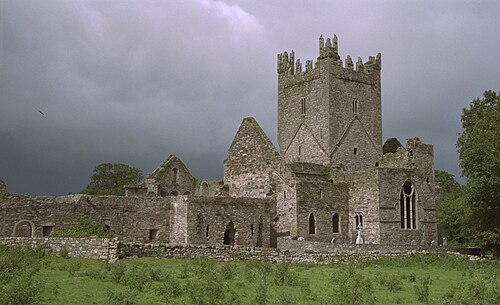 Jerpoint AbbeyHeritage attraction · 2.1 mi