
What is recorded here
In tillage. A roughly concentric circular enclosure (total diam. c. 68m N-S; c. 70m E-W) defined by a cropmark is visible on satellite imagery (© Google Earth, imagery date 13 August 2015; © 2020 Here), identified and reported by Jean-Charles Caillère. There is a gap of c. 6-10m between the inner and outer enclosure. There is a ring-ditch (KK028-105----) 50m to the SE.
See attached Google Earth image (imagery date 13 August 2015)
Compiled by: Jean Farrelly
Date of upload: 20 April 2020
The monument record does not grant public access. Check the route and ask the landowner before entering private land.
- What survives
- Recorded monument
Places near here
 Columbkille Church (in ruins)Ruins · 436 yd
 Holy well in ColumbkilleHoly well · 461 yd
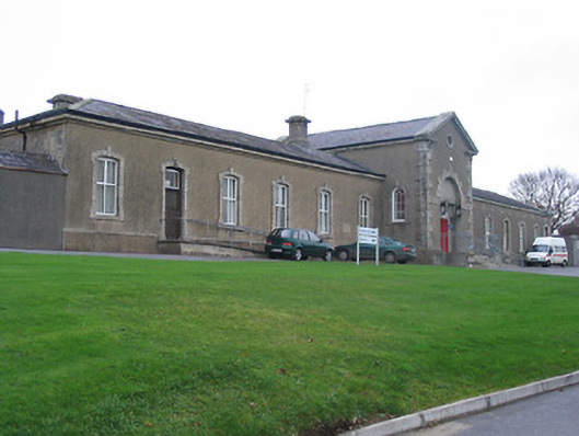 Saint Columba's Hospitalworkhouse · 625 yd
 Enclosure in CloghabrodyEnclosure · 650 yd
 John Patrick KennedyMemorial · 1217 yd
 The Yellow GateMemorial · 1306 yd
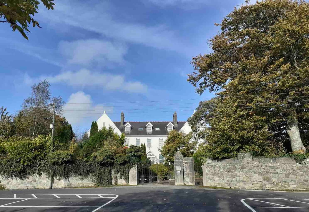 Thomastown QuarryNature reserve · 1383 yd
 CastleCastle, Anglo-Norman masonry castle · 1623 yd
 Horse-chestnutHorse-chestnut · 1.2 mi
 TowerCastle, tower house · 1.4 mi
 Stroan FountainVisitor information · 1.9 mi
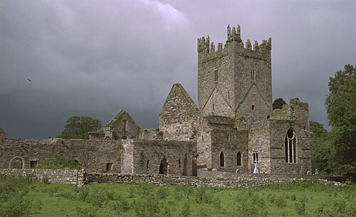 Jerpoint AbbeyHeritage attraction · 2.1 mi
Other information
Photo: Credit not shown in the picture search · Rights wording not checked; contact us if this picture should be removed